Transport Functions
Rail
Road
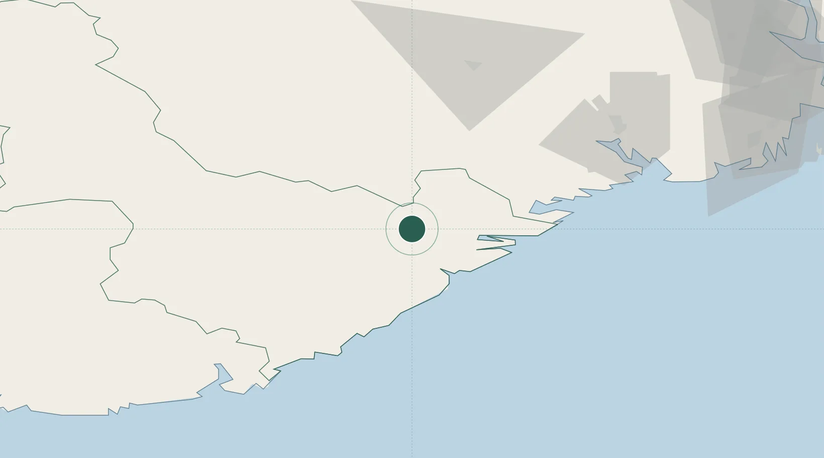
Hub Profile
Region
09
Location
Nearby Logistics Neighbours
Cities
- 1Tvedestrand18 km
- 2Gjerstad18 km
- 3Risør26 km
- 4Litangen30 km
- 5Eydehavn30 km
Ports
- 1Tvedestrand19 km
- 2Risor26 km
- 3Arendal35 km
- 4Kragero37 km
- 5Brevik62 km
Airports
- 1Skien Airport64 km
- 2Kristiansand Airport75 km
- 3Notodden Airport92 km
- 4Sandefjord Airport, Torp96 km
- 5Moss Airport, Rygge132 km
Trade Zones
- 1Gothenburg Boundless Customs Warehouse212 km
- 2Jönköping Free Zone329 km
- 3Freeport of Copenhagen- Nordhavn409 km
- 4MTS Malmö Transport and Spedition436 km
- 5Freeport of Kiel500 km
DatabookThe Record of Consolidated Knowledge
Norway beyond logistics?