UN/LOCODE hub · Norway
NORIS

Risør

58.7167°, 9.2333°
2
Transport functions

Transport Functions

Port
Road
Risør is also a profiled seaport →
UN/LOCODE

Hub Profile

Region
09
GeoNames

Location

Location of NORIS
Natural Earth 10m (public domain) · 09 · NORIS · 58.72, 9.23GoogleOSMYandex

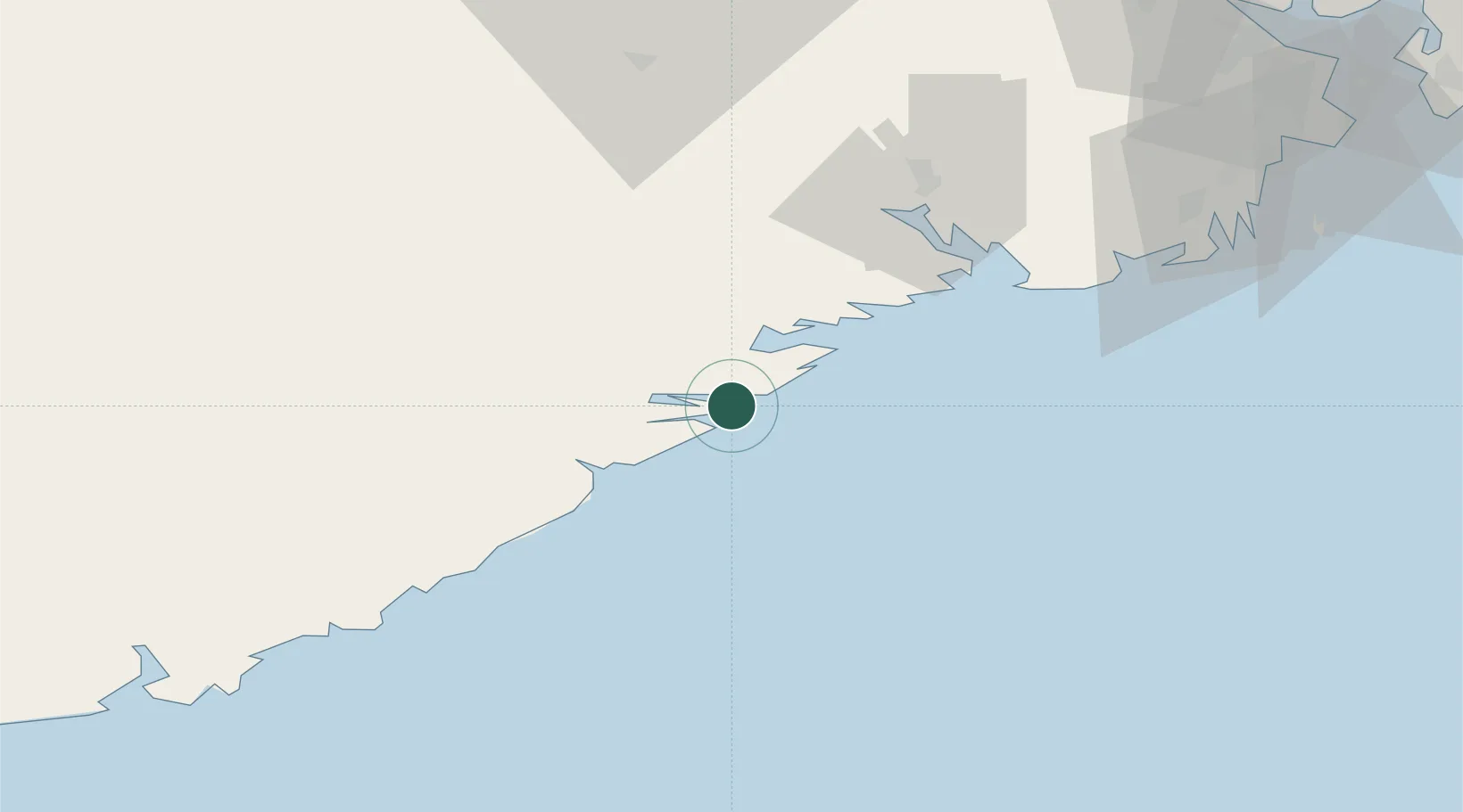
Nearby Logistics Neighbours

Cities
  1. 1Litangen15 km
  2. 2Snekkevik17 km
  3. 3Åtangen18 km
  4. 4Sannidal19 km
  5. 5Kragerø19 km
Nearest neighbours — logibook spatial index (haversine) over the source coordinates
Ports
  1. 1Kragero19 km
  2. 2Tvedestrand21 km
  3. 3Arendal39 km
  4. 4Brevik47 km
  5. 5Porsgrunn54 km
Nearest neighbours — logibook spatial index (haversine) over the source coordinates
Airports
  1. 1Skien Airport56 km
  2. 2Sandefjord Airport, Torp79 km
  3. 3Kristiansand Airport88 km
  4. 4Notodden Airport94 km
  5. 5Moss Airport, Rygge115 km
Nearest neighbours — logibook spatial index (haversine) over the source coordinates
Trade Zones
  1. 1Gothenburg Boundless Customs Warehouse188 km
  2. 2Jönköping Free Zone303 km
  3. 3Freeport of Copenhagen- Nordhavn391 km
  4. 4MTS Malmö Transport and Spedition417 km
  5. 5Freeport of Kiel491 km
Nearest neighbours — logibook spatial index (haversine) over the source coordinates
DatabookThe Record of Consolidated Knowledge
Norway beyond logistics?
Browse databook

All Sources

LocationsUN/LOCODE
UN/LOCODE — free
Portsthe NGA World Port Index
Public domain (US gov)
AirportsOurAirports
Public domain
Trade Zonesthe World Bank SEZ database
CC BY 4.0
Trade ZonesOpen Zone Map
CC BY
← Norway locations