Transport Functions
Port
Road
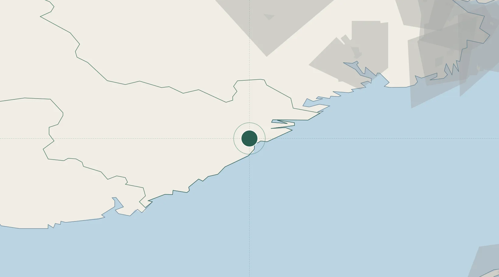
Hub Profile
Place type
Provincial seat
Region
Agder
Population
6,115
Time zone
Europe/Oslo
Elevation
10 m
Location
Nearby Logistics Neighbours
Airports
- 1Kristiansand Airport67 km
- 2Skien Airport73 km
- 3Sandefjord Airport, Torp100 km
- 4Notodden Airport107 km
- 5Moss Airport, Rygge137 km
Trade Zones
- 1Gothenburg Boundless Customs Warehouse198 km
- 2Jönköping Free Zone318 km
- 3Freeport of Copenhagen- Nordhavn392 km
- 4MTS Malmö Transport and Spedition419 km
- 5Freeport of Kiel482 km
DatabookThe Record of Consolidated Knowledge
Norway beyond logistics?