Transport Functions
Port
Hub Profile
Place type
Populated place
Region
Vestland
Time zone
Europe/Oslo
Elevation
1 m
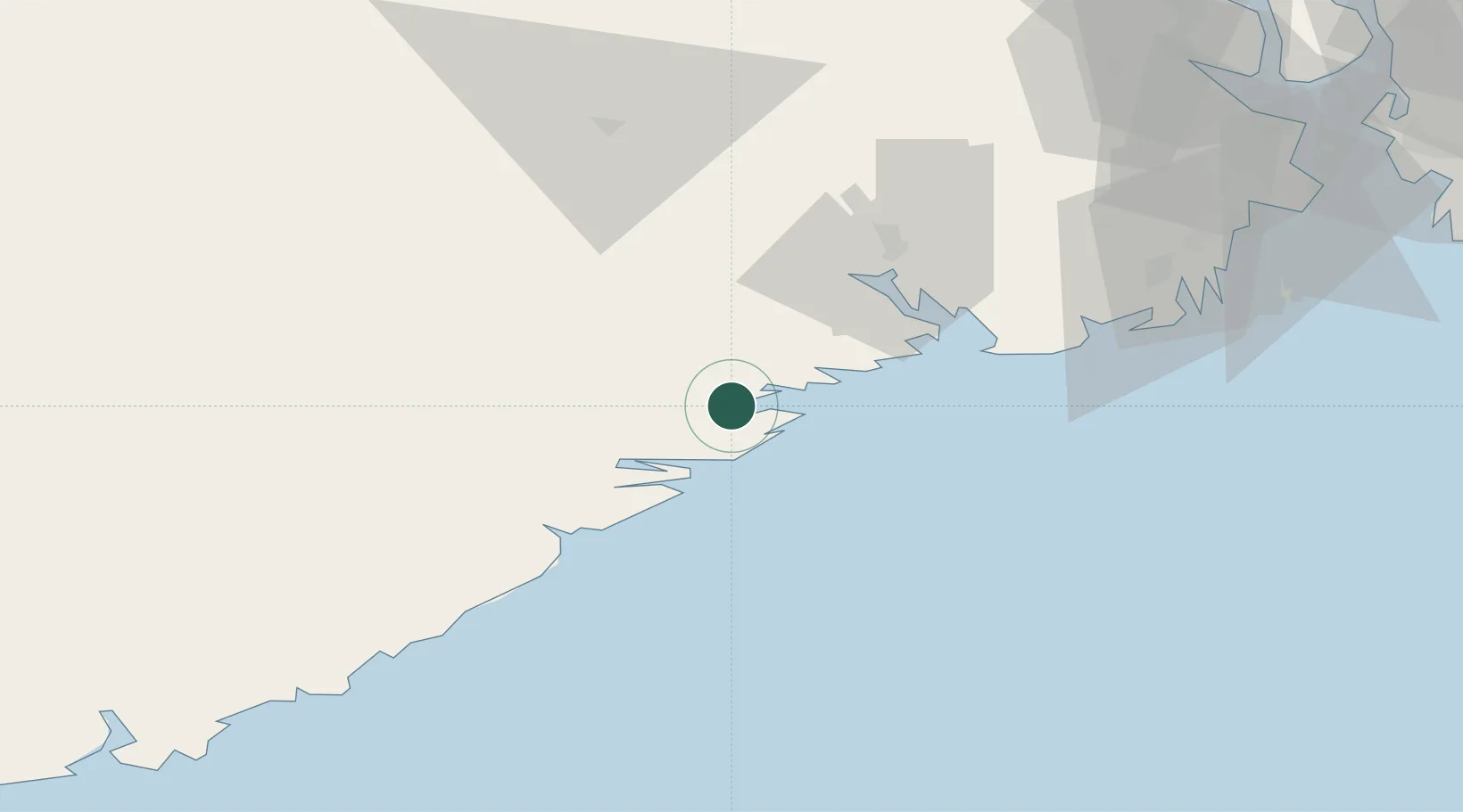
Location
Nearby Logistics Neighbours
Ports
- 1Kragero7 km
- 2Risor15 km
- 3Brevik33 km
- 4Tvedestrand34 km
- 5Porsgrunn39 km
Airports
- 1Skien Airport40 km
- 2Sandefjord Airport, Torp66 km
- 3Notodden Airport80 km
- 4Kristiansand Airport101 km
- 5Moss Airport, Rygge103 km
Trade Zones
- 1Gothenburg Boundless Customs Warehouse194 km
- 2Jönköping Free Zone305 km
- 3Freeport of Copenhagen- Nordhavn401 km
- 4MTS Malmö Transport and Spedition427 km
- 5Freeport of Kiel505 km
DatabookThe Record of Consolidated Knowledge
Norway beyond logistics?