Transport Functions
Rail
Road
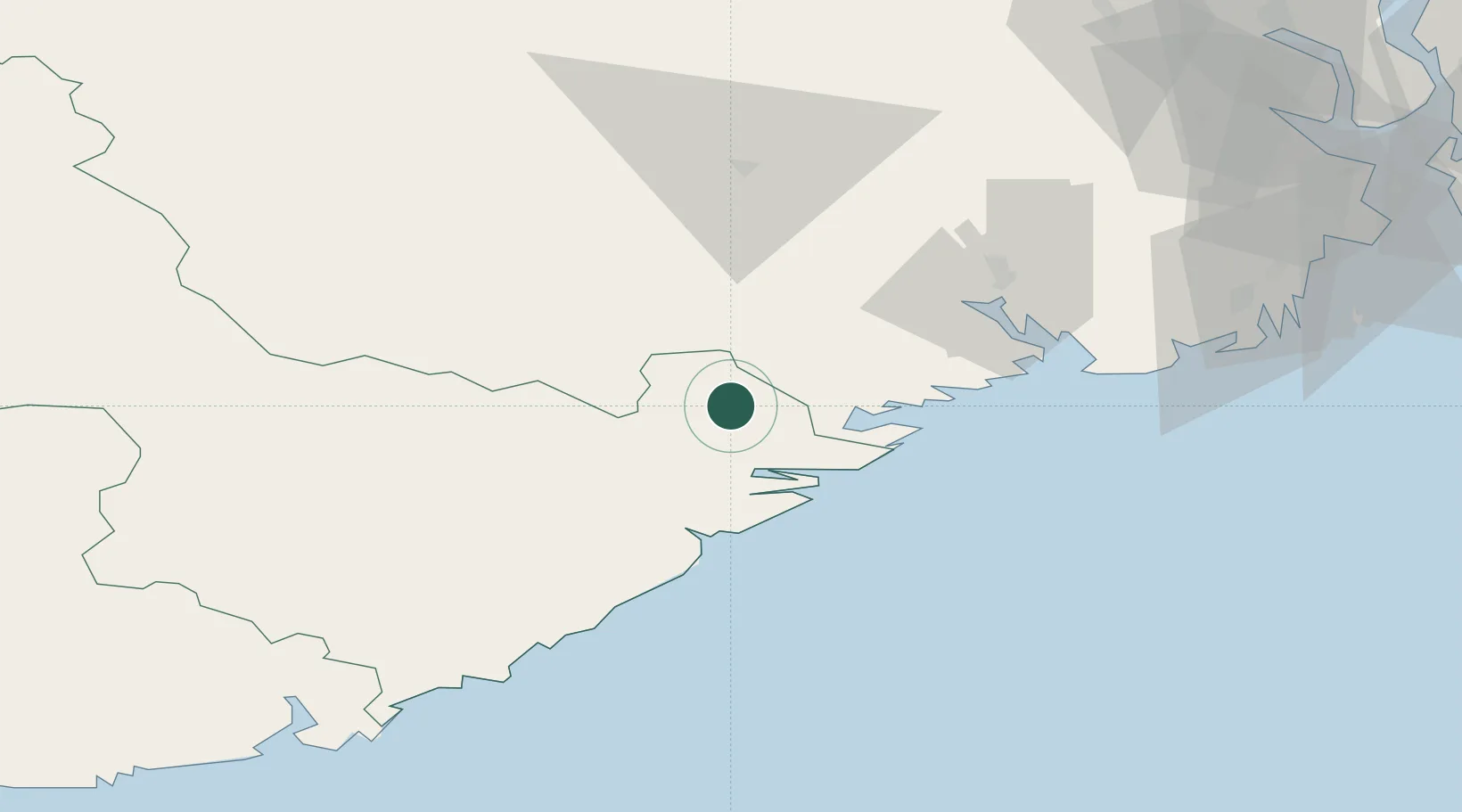
Hub Profile
Place type
Provincial seat
Region
Agder
Population
289
Time zone
Europe/Oslo
Elevation
78 m
Location
Nearby Logistics Neighbours
Ports
- 1Risor22 km
- 2Kragero23 km
- 3Tvedestrand31 km
- 4Brevik44 km
- 5Porsgrunn47 km
Airports
- 1Skien Airport46 km
- 2Notodden Airport77 km
- 3Sandefjord Airport, Torp79 km
- 4Kristiansand Airport93 km
- 5Moss Airport, Rygge115 km
Trade Zones
- 1Gothenburg Boundless Customs Warehouse209 km
- 2Jönköping Free Zone321 km
- 3Freeport of Copenhagen- Nordhavn413 km
- 4MTS Malmö Transport and Spedition439 km
- 5Freeport of Kiel511 km
DatabookThe Record of Consolidated Knowledge
Norway beyond logistics?