Transport Functions
Port
Road
Hub Profile
Place type
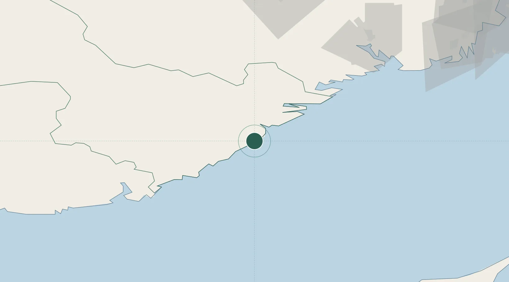
Populated place
Region
Agder
Time zone
Europe/Oslo
Elevation
21 m
Logistics facilities
2
Container terminals
1
Location
Nearby Logistics Neighbours
Cities
- 1Arendal8 km
- 2Tvedestrand14 km
- 3Rykene18 km
- 4Vikkilen21 km
- 5Grimstad25 km
Ports
- 1Arendal8 km
- 2Tvedestrand13 km
- 3Risor33 km
- 4Kragero51 km
- 5Kristiansand64 km
Airports
- 1Kristiansand Airport57 km
- 2Skien Airport86 km
- 3Sandefjord Airport, Torp111 km
- 4Notodden Airport120 km
- 5Sindal Airport136 km
Trade Zones
- 1Gothenburg Boundless Customs Warehouse194 km
- 2Jönköping Free Zone317 km
- 3Freeport of Copenhagen- Nordhavn382 km
- 4MTS Malmö Transport and Spedition410 km
- 5Freeport of Kiel470 km
DatabookThe Record of Consolidated Knowledge
Norway beyond logistics?