UN/LOCODE hub · Norway
NOGRV

Granvin

60.5167°, 6.7000°
460
Population
1
Transport functions

Transport Functions

Port
UN/LOCODE

Hub Profile

Place type
Provincial seat
GeoNames
Region
Vestland
GeoNames
Population
460
GeoNames
Time zone
Europe/Oslo
GeoNames
Elevation
200 m
GeoNames

Location

Location of NOGRV
Natural Earth 10m (public domain) · Vestland · NOGRV · 60.52, 6.70GoogleOSMYandex

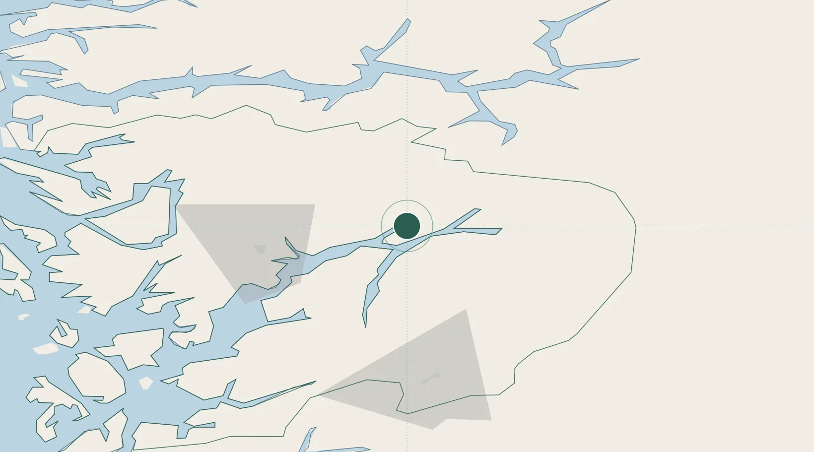
Nearby Logistics Neighbours

Cities
  1. 1Kvanndal7 km
  2. 2Utne12 km
  3. 3Ulvik13 km
  4. 4Kinsarvik17 km
  5. 5Ålvik19 km
Nearest neighbours — logibook spatial index (haversine) over the source coordinates
Ports
  1. 1Norheimsund34 km
  2. 2Odda48 km
  3. 3Vaksdal53 km
  4. 4Bergen78 km
  5. 5Haakonsvern83 km
Nearest neighbours — logibook spatial index (haversine) over the source coordinates
Airports
  1. 1Sogndal Airport, Haukåsen75 km
  2. 2Bergen Airport, Flesland85 km
  3. 3Førde Airport, Bringeland110 km
  4. 4Stord Airport, Sørstokken110 km
  5. 5Florø Airport149 km
Nearest neighbours — logibook spatial index (haversine) over the source coordinates
Trade Zones
  1. 1Gothenburg Boundless Customs Warehouse427 km
  2. 2Jönköping Free Zone520 km
  3. 3Freeport of Copenhagen- Nordhavn636 km
  4. 4MTS Malmö Transport and Spedition662 km
  5. 5Freeport of Kiel718 km
Nearest neighbours — logibook spatial index (haversine) over the source coordinates
DatabookThe Record of Consolidated Knowledge
Norway beyond logistics?
Browse databook

All Sources

LocationsUN/LOCODE
UN/LOCODE — free
LocationsGeoNames
CC BY 4.0
Portsthe NGA World Port Index
Public domain (US gov)
AirportsOurAirports
Public domain
Trade Zonesthe World Bank SEZ database
CC BY 4.0
Trade ZonesOpen Zone Map
CC BY
← Norway locations