UN/LOCODE hub · Norway
NOAAV

Ålvik

60.4167°, 6.4167°
2
Transport functions

Transport Functions

Port
Road
UN/LOCODE

Hub Profile

Region
12
GeoNames

Location

Location of NOAAV
Natural Earth 10m (public domain) · 12 · NOAAV · 60.42, 6.42GoogleOSMYandex

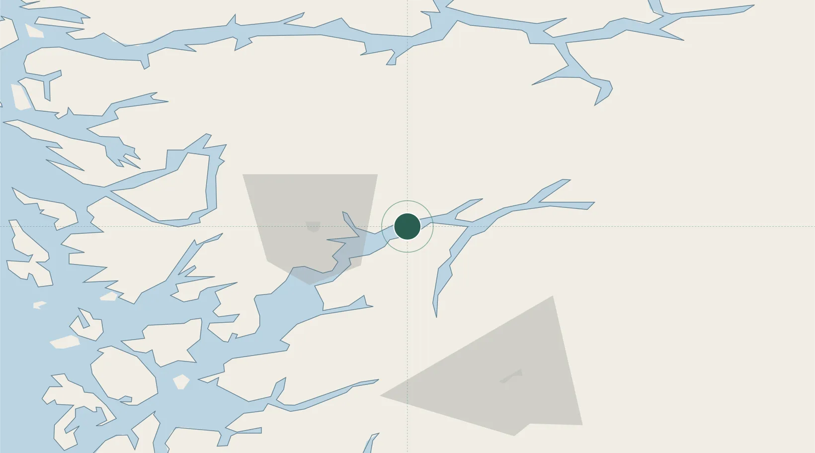
Nearby Logistics Neighbours

Cities
  1. 1Utne10 km
  2. 2Kvanndal13 km
  3. 3Norheimsund17 km
  4. 4Ullensvang17 km
  5. 5Kinsarvik17 km
Nearest neighbours — logibook spatial index (haversine) over the source coordinates
Ports
  1. 1Norheimsund16 km
  2. 2Odda36 km
  3. 3Vaksdal38 km
  4. 4Bergen61 km
  5. 5Haakonsvern66 km
Nearest neighbours — logibook spatial index (haversine) over the source coordinates
Airports
  1. 1Bergen Airport, Flesland67 km
  2. 2Sogndal Airport, Haukåsen91 km
  3. 3Stord Airport, Sørstokken92 km
  4. 4Førde Airport, Bringeland114 km
  5. 5Haugesund Airport, Karmøy137 km
Nearest neighbours — logibook spatial index (haversine) over the source coordinates
Trade Zones
  1. 1Gothenburg Boundless Customs Warehouse431 km
  2. 2Jönköping Free Zone528 km
  3. 3Freeport of Copenhagen- Nordhavn636 km
  4. 4MTS Malmö Transport and Spedition663 km
  5. 5Freeport of Kiel713 km
Nearest neighbours — logibook spatial index (haversine) over the source coordinates
DatabookThe Record of Consolidated Knowledge
Norway beyond logistics?
Browse databook

All Sources

LocationsUN/LOCODE
UN/LOCODE — free
Portsthe NGA World Port Index
Public domain (US gov)
AirportsOurAirports
Public domain
Trade Zonesthe World Bank SEZ database
CC BY 4.0
Trade ZonesOpen Zone Map
CC BY
← Norway locations