Transport Functions
Port
Hub Profile
Place type
Populated place
Region
Vestfold
Time zone
Europe/Oslo
Elevation
13 m
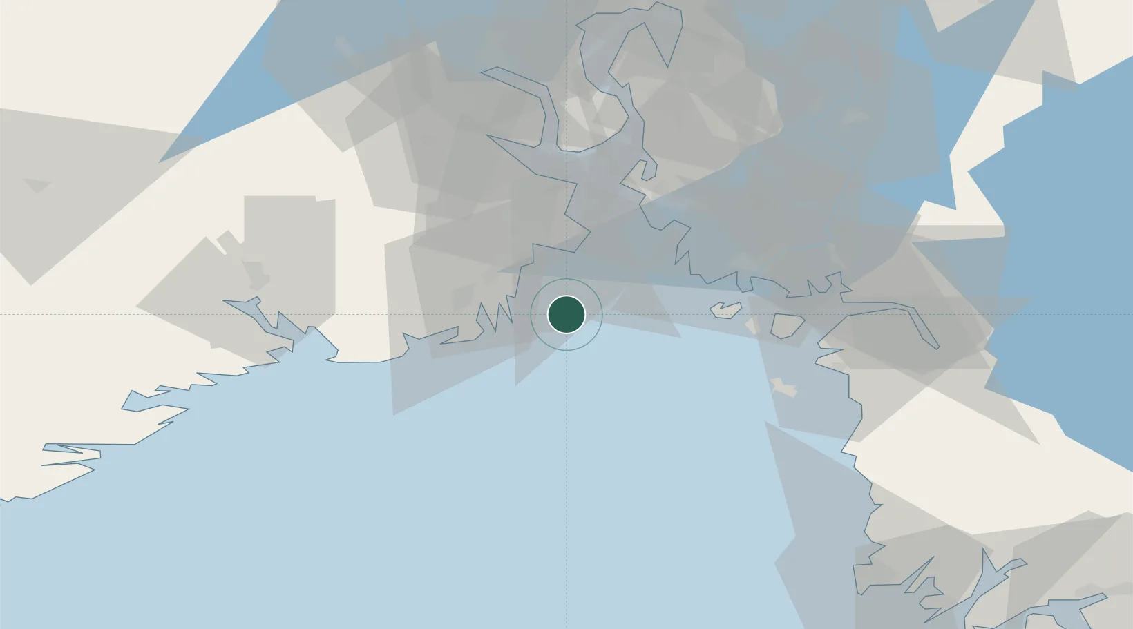
Location
Nearby Logistics Neighbours
Cities
- 1Kjøpmannskjær10 km
- 2Thorøya13 km
- 3Sandefjord14 km
- 4Melsomvik16 km
- 5Husøy - Tønsberg17 km
Ports
- 1Sandefjorden13 km
- 2Valloy20 km
- 3Tonsberg20 km
- 4Larvik25 km
- 5Slagenstangen28 km
Airports
- 1Sandefjord Airport, Torp16 km
- 2Moss Airport, Rygge38 km
- 3Skien Airport52 km
- 4Notodden Airport88 km
- 5Oslo-Gardermoen International Airport129 km
Trade Zones
DatabookThe Record of Consolidated Knowledge
Norway beyond logistics?