Transport Functions
Road
Multimodal
Hub Profile
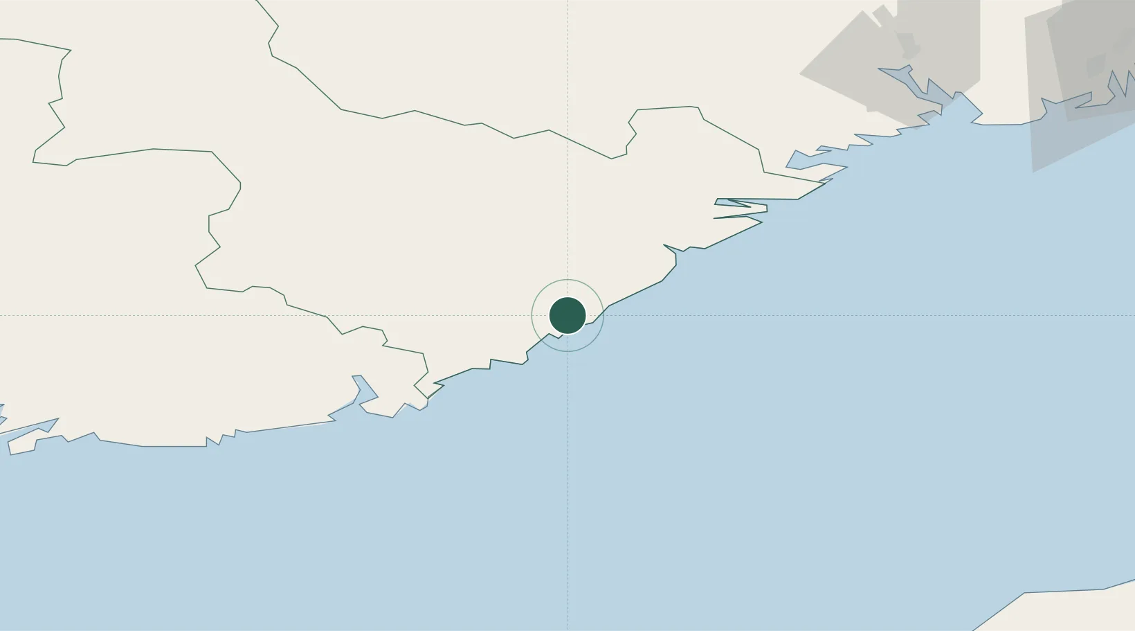
Place type
Populated place
Region
Agder
Population
647
Time zone
Europe/Oslo
Elevation
38 m
Location
Nearby Logistics Neighbours
Ports
- 1Arendal10 km
- 2Tvedestrand30 km
- 3Kristiansand47 km
- 4Risor50 km
- 5Kragero69 km
Airports
- 1Kristiansand Airport39 km
- 2Skien Airport103 km
- 3Sandefjord Airport, Torp128 km
- 4Notodden Airport134 km
- 5Sindal Airport137 km
Trade Zones
- 1Gothenburg Boundless Customs Warehouse202 km
- 2Jönköping Free Zone329 km
- 3Freeport of Copenhagen- Nordhavn383 km
- 4MTS Malmö Transport and Spedition412 km
- 5Freeport of Kiel462 km
DatabookThe Record of Consolidated Knowledge
Norway beyond logistics?