UN/LOCODE hub · Norway
NORDB

Randaberg

59.0000°, 5.6333°
1
Transport functions

Transport Functions

Port
UN/LOCODE

Hub Profile

Place type
Provincial seat
GeoNames
Region
Rogaland
GeoNames
Time zone
Europe/Oslo
GeoNames
Elevation
34 m
GeoNames

Location

Location of NORDB
Natural Earth 10m (public domain) · Rogaland · NORDB · 59.00, 5.63GoogleOSMYandex

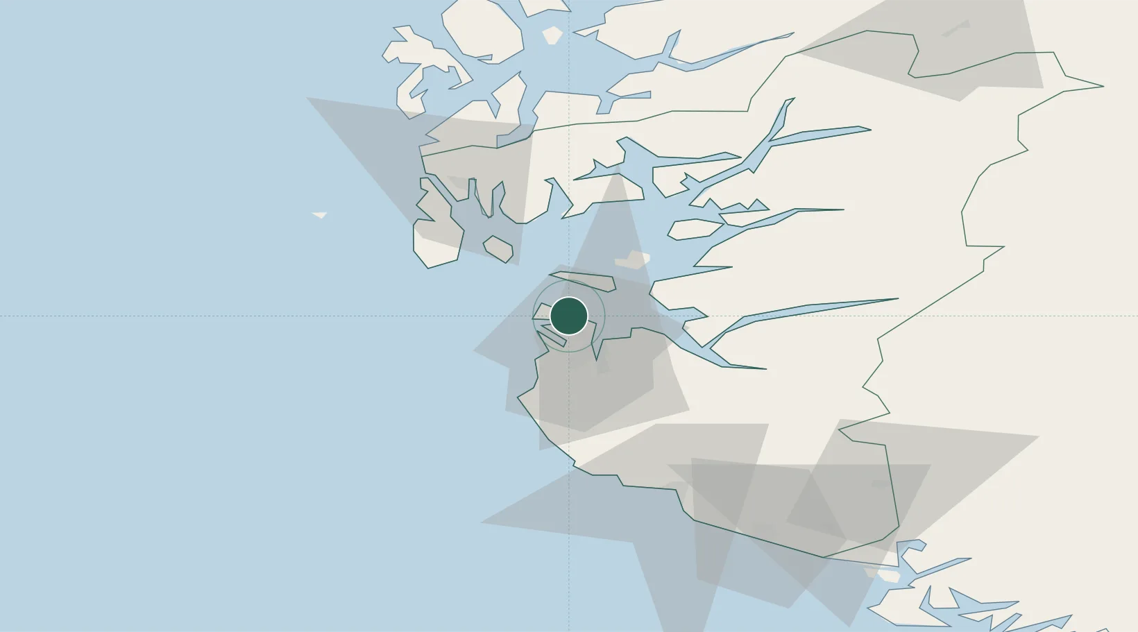
Nearby Logistics Neighbours

Cities
  1. 1Dusavik1 km
  2. 2Risavika8 km
  3. 3Stavanger9 km
  4. 4Tananger9 km
  5. 5Rennesøy10 km
Nearest neighbours — logibook spatial index (haversine) over the source coordinates
Ports
  1. 1Stavanger8 km
  2. 2Tananger9 km
  3. 3Sandnes16 km
  4. 4Skudeneshavn27 km
  5. 5Karsto30 km
Nearest neighbours — logibook spatial index (haversine) over the source coordinates
Airports
  1. 1Stavanger Airport, Sola14 km
  2. 2Haugesund Airport, Karmøy45 km
  3. 3Stord Airport, Sørstokken90 km
  4. 4Bergen Airport, Flesland146 km
  5. 5Kristiansand Airport167 km
Nearest neighbours — logibook spatial index (haversine) over the source coordinates
Trade Zones
  1. 1Gothenburg Boundless Customs Warehouse388 km
  2. 2Freeport of Kiel588 km
  3. 3Freeport of Cuxhaven (Freihafen Cuxhaven)603 km
  4. 4North Eastern Enterprise Zone627 km
  5. 5Freeport of Emden637 km
Nearest neighbours — logibook spatial index (haversine) over the source coordinates
DatabookThe Record of Consolidated Knowledge
Norway beyond logistics?
Browse databook

All Sources

LocationsUN/LOCODE
UN/LOCODE — free
Portsthe NGA World Port Index
Public domain (US gov)
AirportsOurAirports
Public domain
Trade Zonesthe World Bank SEZ database
CC BY 4.0
Trade ZonesOpen Zone Map
CC BY
← Norway locations