UN/LOCODE hub · Norway
NORIV

Risavika

58.9333°, 5.6000°
1
Transport functions

Transport Functions

Port
UN/LOCODE

Hub Profile

Region
11
GeoNames

Location

Location of NORIV
Natural Earth 10m (public domain) · 11 · NORIV · 58.93, 5.60GoogleOSMYandex

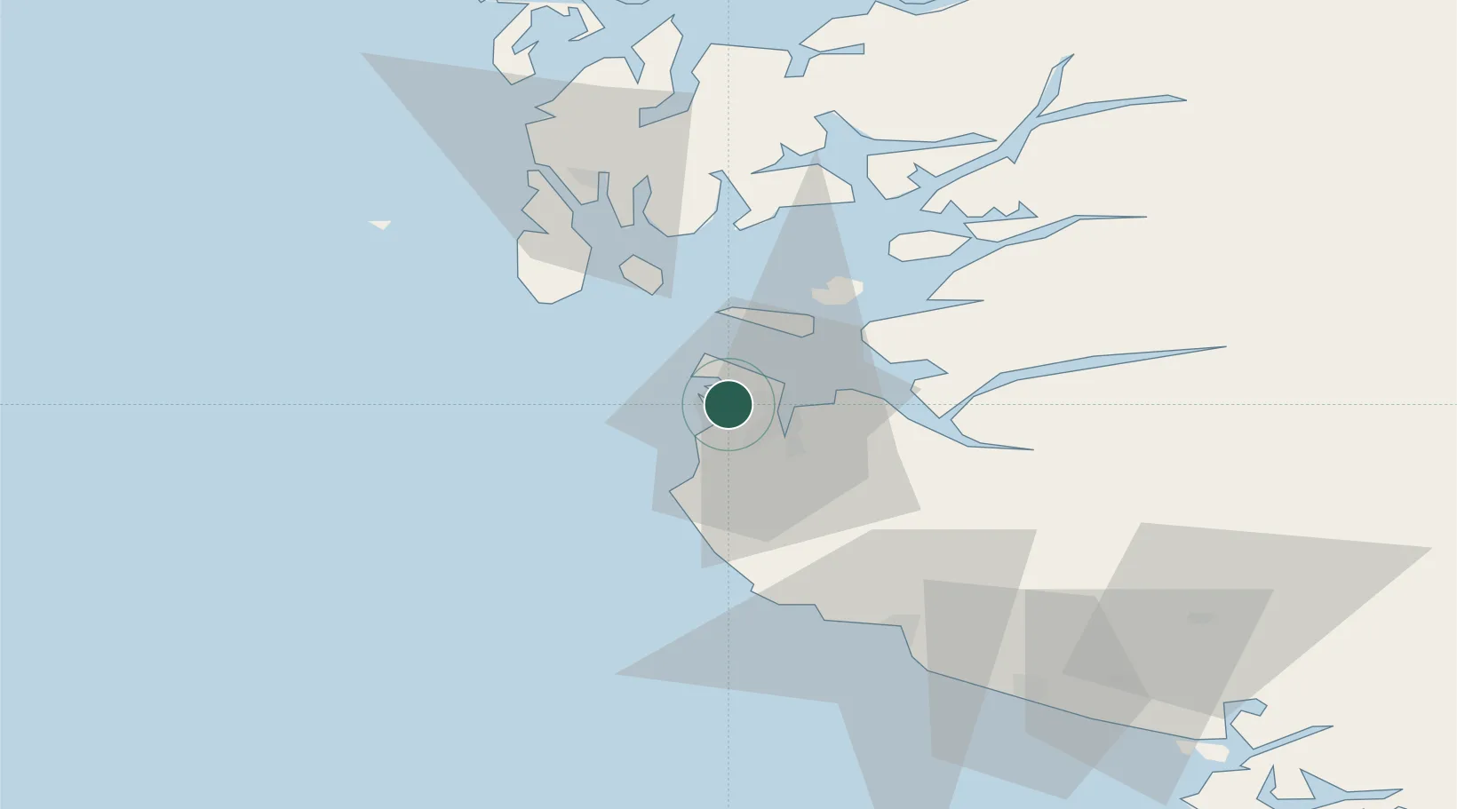
Nearby Logistics Neighbours

Cities
  1. 1Stavanger1 km
  2. 2Tananger2 km
  3. 3Randaberg8 km
  4. 4Dusavik8 km
  5. 5Forus10 km
Nearest neighbours — logibook spatial index (haversine) over the source coordinates
Ports
  1. 1Tananger2 km
  2. 2Stavanger9 km
  3. 3Sandnes11 km
  4. 4Skudeneshavn31 km
  5. 5Karsto37 km
Nearest neighbours — logibook spatial index (haversine) over the source coordinates
Airports
  1. 1Stavanger Airport, Sola7 km
  2. 2Haugesund Airport, Karmøy51 km
  3. 3Stord Airport, Sørstokken97 km
  4. 4Bergen Airport, Flesland153 km
  5. 5Kristiansand Airport165 km
Nearest neighbours — logibook spatial index (haversine) over the source coordinates
Trade Zones
  1. 1Gothenburg Boundless Customs Warehouse387 km
  2. 2Freeport of Kiel583 km
  3. 3Freeport of Cuxhaven (Freihafen Cuxhaven)597 km
  4. 4North Eastern Enterprise Zone621 km
  5. 5Freeport of Emden630 km
Nearest neighbours — logibook spatial index (haversine) over the source coordinates
DatabookThe Record of Consolidated Knowledge
Norway beyond logistics?
Browse databook

All Sources

LocationsUN/LOCODE
UN/LOCODE — free
Portsthe NGA World Port Index
Public domain (US gov)
AirportsOurAirports
Public domain
Trade Zonesthe World Bank SEZ database
CC BY 4.0
Trade ZonesOpen Zone Map
CC BY
← Norway locations