Transport Functions
Port
Road
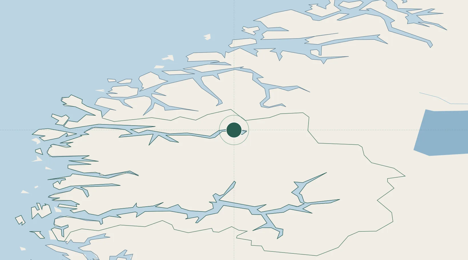
Hub Profile
Place type
Provincial seat
Region
Vestland
Population
7,207
Time zone
Europe/Oslo
Elevation
20 m
Location
Nearby Logistics Neighbours
Cities
- 1Innvik6 km
- 2Loen7 km
- 3Olden8 km
- 4Hellesylt24 km
- 5Nordfjordeid38 km
Ports
- 1Orstav46 km
- 2Hareid64 km
- 3Alesund71 km
- 4Moldtustranda72 km
- 5Maloy83 km
Airports
- 1Sandane Airport, Anda32 km
- 2Ørsta-Volda Airport, Hovden46 km
- 3Førde Airport, Bringeland74 km
- 4Ålesund Airport81 km
- 5Sogndal Airport, Haukåsen84 km
Trade Zones
- 1Gothenburg Boundless Customs Warehouse545 km
- 2Jönköping Free Zone616 km
- 3Freeport of Copenhagen- Nordhavn765 km
- 4MTS Malmö Transport and Spedition789 km
- 5Freeport of Kiel864 km
DatabookThe Record of Consolidated Knowledge
Norway beyond logistics?