Transport Functions
Port
Road
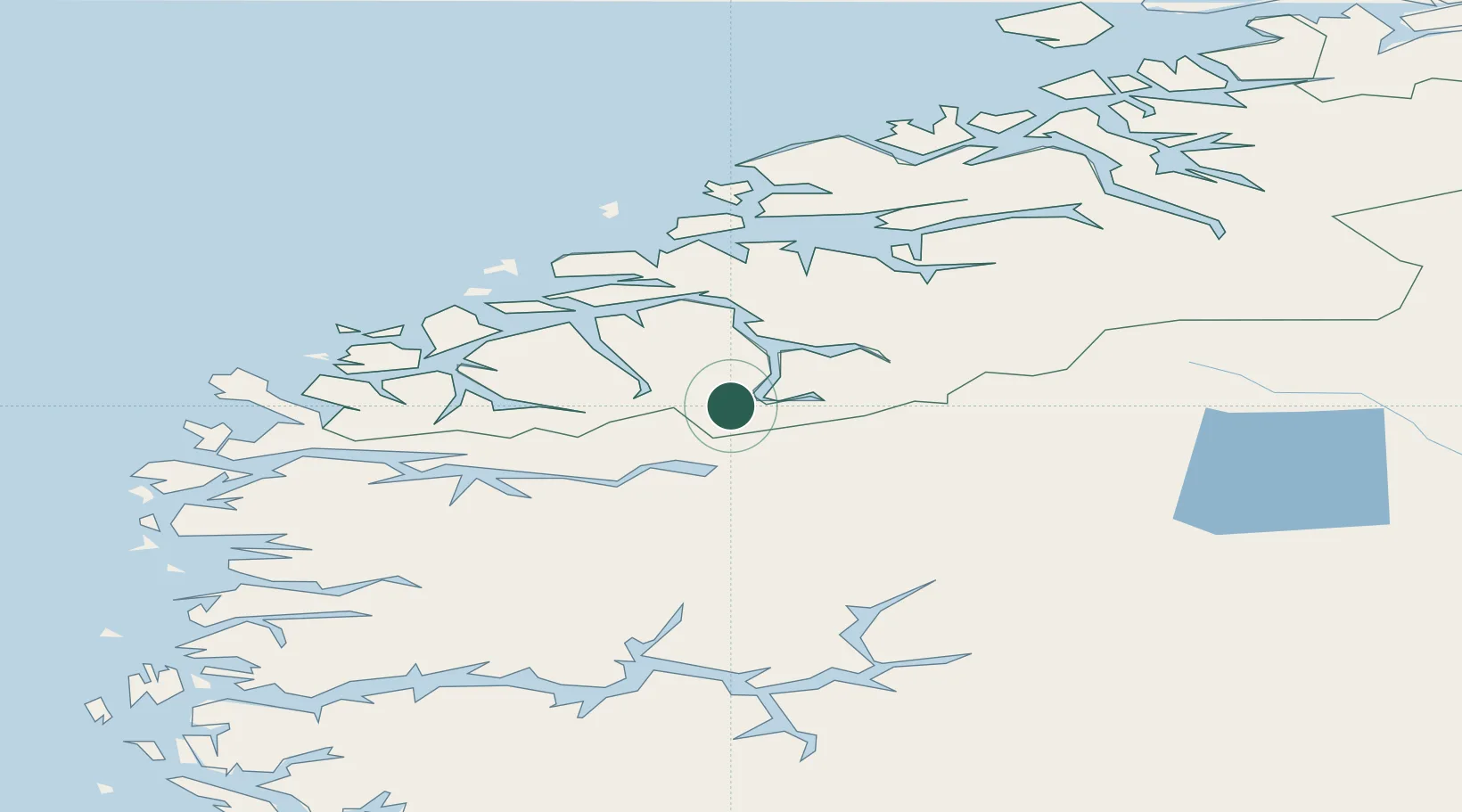
Hub Profile
Place type
Populated place
Region
Møre og Romsdal
Time zone
Europe/Oslo
Elevation
1 m
Location
Nearby Logistics Neighbours
Cities
- 1Raudbergvika23 km
- 2Stryn24 km
- 3Loen24 km
- 4Stranda24 km
- 5Eidsdal26 km
Ports
- 1Orstav41 km
- 2Hareid54 km
- 3Alesund56 km
- 4Moldtustranda68 km
- 5Andalsnes68 km
Airports
- 1Ørsta-Volda Airport, Hovden43 km
- 2Sandane Airport, Anda49 km
- 3Ålesund Airport66 km
- 4Molde Airport, Årø76 km
- 5Førde Airport, Bringeland97 km
Trade Zones
- 1Gothenburg Boundless Customs Warehouse559 km
- 2Jönköping Free Zone626 km
- 3Freeport of Copenhagen- Nordhavn780 km
- 4MTS Malmö Transport and Spedition804 km
- 5Freeport of Kiel883 km
DatabookThe Record of Consolidated Knowledge
Norway beyond logistics?