Transport Functions
Port
Hub Profile
Place type
Populated place
Region
Vestland
Time zone
Europe/Oslo
Elevation
3 m
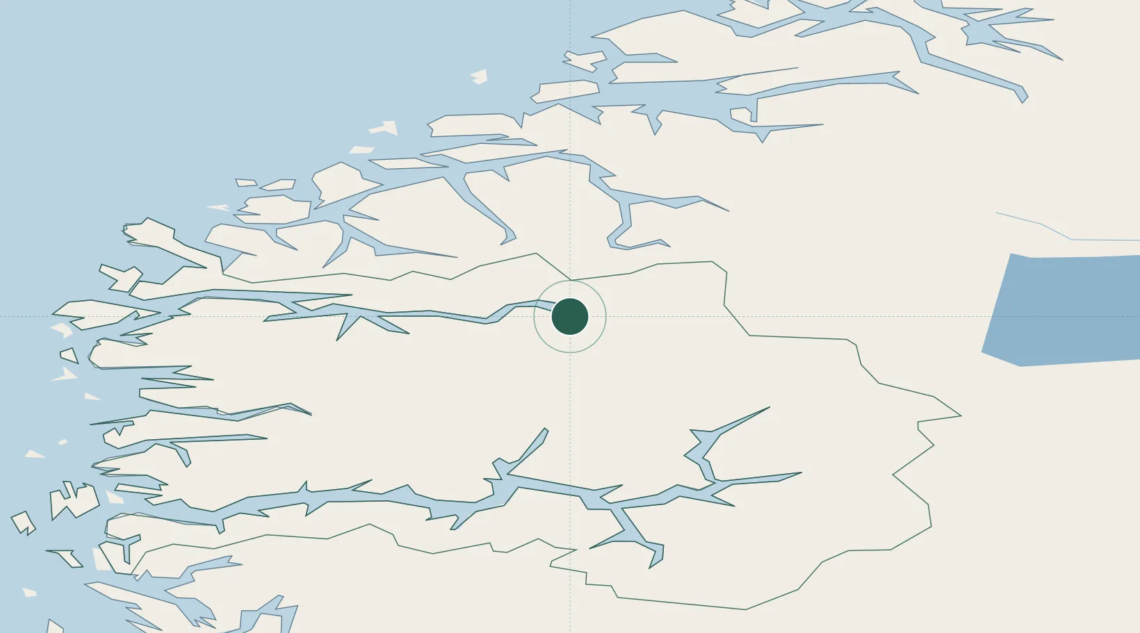
Location
Nearby Logistics Neighbours
Cities
- 1Loen4 km
- 2Stryn8 km
- 3Innvik10 km
- 4Hellesylt28 km
- 5Nordfjordeid44 km
Ports
- 1Orstav54 km
- 2Hareid72 km
- 3Alesund78 km
- 4Moldtustranda79 km
- 5Ardalstangen82 km
Airports
- 1Sandane Airport, Anda36 km
- 2Ørsta-Volda Airport, Hovden54 km
- 3Førde Airport, Bringeland74 km
- 4Sogndal Airport, Haukåsen77 km
- 5Ålesund Airport88 km
Trade Zones
- 1Gothenburg Boundless Customs Warehouse538 km
- 2Jönköping Free Zone608 km
- 3Freeport of Copenhagen- Nordhavn757 km
- 4MTS Malmö Transport and Spedition781 km
- 5Freeport of Kiel857 km
DatabookThe Record of Consolidated Knowledge
Norway beyond logistics?