Transport Functions
Port
Road
Hub Profile
Place type
Provincial seat
Region
Vestland
Population
2,974
Time zone
Europe/Oslo
Elevation
25 m
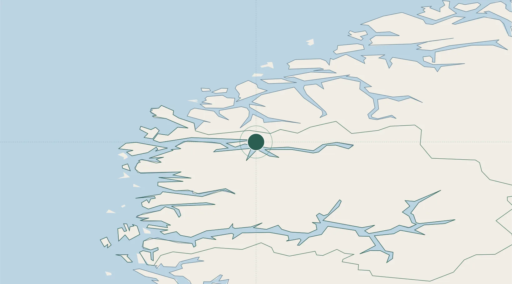
Location
Nearby Logistics Neighbours
Cities
- 1Volda26 km
- 2Kalvneset28 km
- 3Åheim29 km
- 4Voldafjorden30 km
- 5Fiskåbygd - Vanylven32 km
Ports
- 1Orstav34 km
- 2Maloy46 km
- 3Moldtustranda48 km
- 4Hareid53 km
- 5Floro60 km
Airports
- 1Sandane Airport, Anda10 km
- 2Ørsta-Volda Airport, Hovden32 km
- 3Førde Airport, Bringeland58 km
- 4Florø Airport62 km
- 5Ålesund Airport74 km
Trade Zones
DatabookThe Record of Consolidated Knowledge
Norway beyond logistics?