Transport Functions
Port
Road
Hub Profile
Place type
Populated place
Region
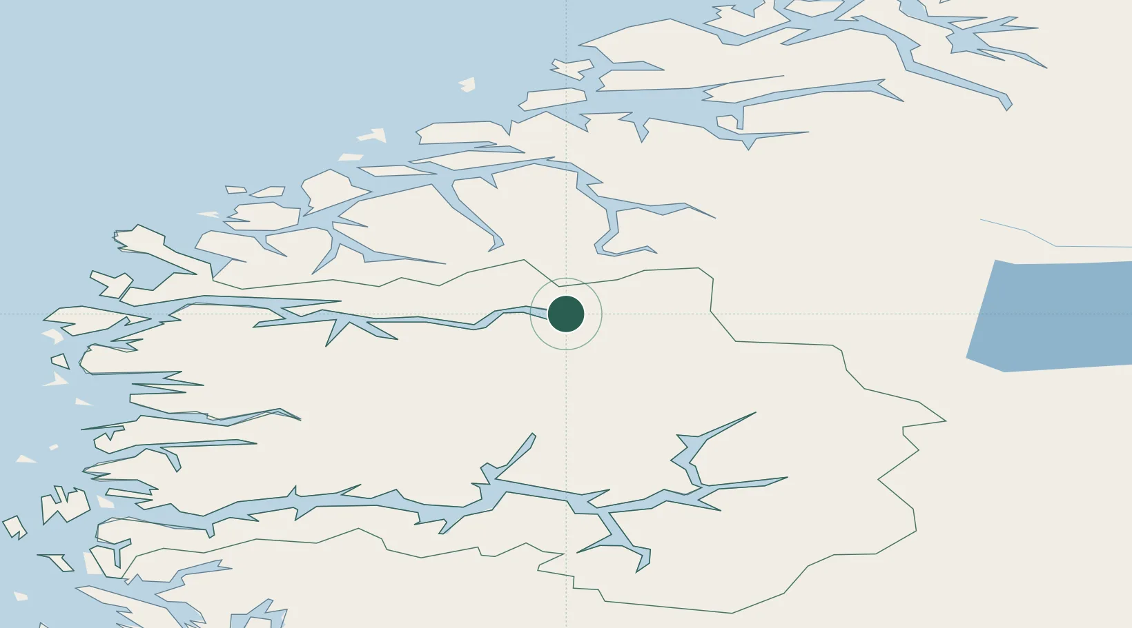
Vestland
Time zone
Europe/Oslo
Elevation
19 m
Location
Nearby Logistics Neighbours
Cities
- 1Olden4 km
- 2Stryn7 km
- 3Innvik12 km
- 4Hellesylt24 km
- 5Nordfjordeid45 km
Ports
- 1Orstav52 km
- 2Hareid70 km
- 3Alesund75 km
- 4Moldtustranda78 km
- 5Ardalstangen84 km
Airports
- 1Sandane Airport, Anda38 km
- 2Ørsta-Volda Airport, Hovden53 km
- 3Førde Airport, Bringeland78 km
- 4Sogndal Airport, Haukåsen81 km
- 5Ålesund Airport86 km
Trade Zones
- 1Gothenburg Boundless Customs Warehouse540 km
- 2Jönköping Free Zone610 km
- 3Freeport of Copenhagen- Nordhavn760 km
- 4MTS Malmö Transport and Spedition784 km
- 5Freeport of Kiel860 km
DatabookThe Record of Consolidated Knowledge
Norway beyond logistics?