Transport Functions
Multimodal
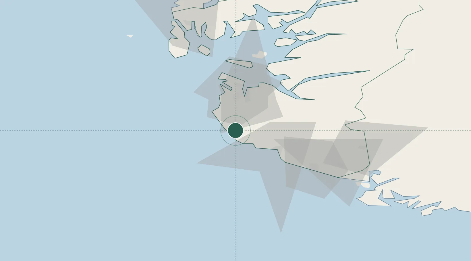
Hub Profile
Place type
Provincial seat
Region
Rogaland
Population
3,314
Time zone
Europe/Oslo
Elevation
57 m
Location
Nearby Logistics Neighbours
Airports
- 1Stavanger Airport, Sola29 km
- 2Haugesund Airport, Karmøy85 km
- 3Stord Airport, Sørstokken132 km
- 4Kristiansand Airport149 km
- 5Bergen Airport, Flesland188 km
Trade Zones
DatabookThe Record of Consolidated Knowledge
Norway beyond logistics?