Transport Functions
Port
Hub Profile
Place type
Locality
Region
Vestland
Time zone
Europe/Oslo
Elevation
3 m
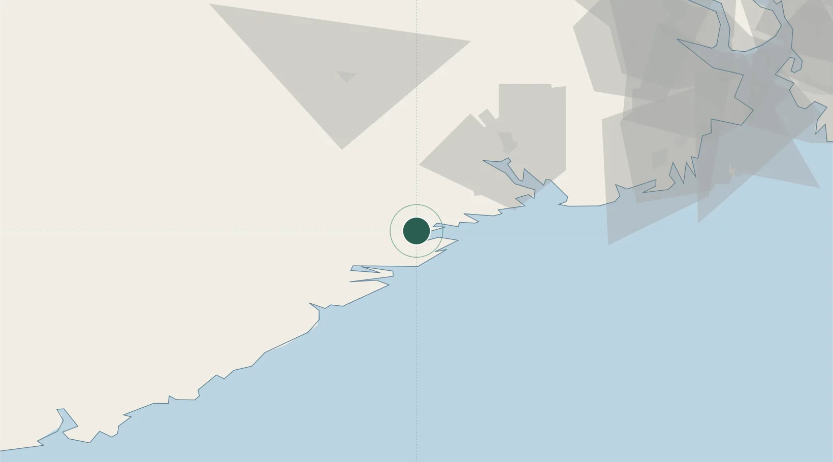
Location
Nearby Logistics Neighbours
Cities
- 1Litangen2 km
- 2Sannidal2 km
- 3Åtangen3 km
- 4Kragerø6 km
- 5Helle - Kragerø7 km
Ports
- 1Kragero7 km
- 2Risor16 km
- 3Brevik32 km
- 4Tvedestrand35 km
- 5Porsgrunn37 km
Airports
- 1Skien Airport39 km
- 2Sandefjord Airport, Torp65 km
- 3Notodden Airport78 km
- 4Kristiansand Airport102 km
- 5Moss Airport, Rygge102 km
Trade Zones
- 1Gothenburg Boundless Customs Warehouse196 km
- 2Jönköping Free Zone305 km
- 3Freeport of Copenhagen- Nordhavn403 km
- 4MTS Malmö Transport and Spedition428 km
- 5Freeport of Kiel507 km
DatabookThe Record of Consolidated Knowledge
Norway beyond logistics?