Transport Functions
Port
Hub Profile
Place type
Populated place
Region
Vestland
Time zone
Europe/Oslo
Elevation
44 m
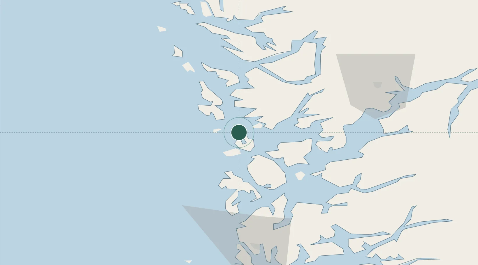
Location
Nearby Logistics Neighbours
Cities
- 1Torangsvåg2 km
- 2Storebø2 km
- 3Austevoll3 km
- 4Lepsøy12 km
- 5Glesvær13 km
Ports
- 1Haakonsvern24 km
- 2Brattholmen26 km
- 3Bergen32 km
- 4Husnes41 km
- 5Leirvik43 km
Airports
- 1Bergen Airport, Flesland20 km
- 2Stord Airport, Sørstokken37 km
- 3Haugesund Airport, Karmøy86 km
- 4Stavanger Airport, Sola140 km
- 5Førde Airport, Bringeland145 km
Trade Zones
DatabookThe Record of Consolidated Knowledge
Norway beyond logistics?