UN/LOCODE hub · Norway
NOKAN

Kalvneset

61.9333°, 5.4500°
1
Transport functions

Transport Functions

Port
UN/LOCODE

Hub Profile

Region
14
GeoNames

Location

Location of NOKAN
Natural Earth 10m (public domain) · 14 · NOKAN · 61.93, 5.45GoogleOSMYandex

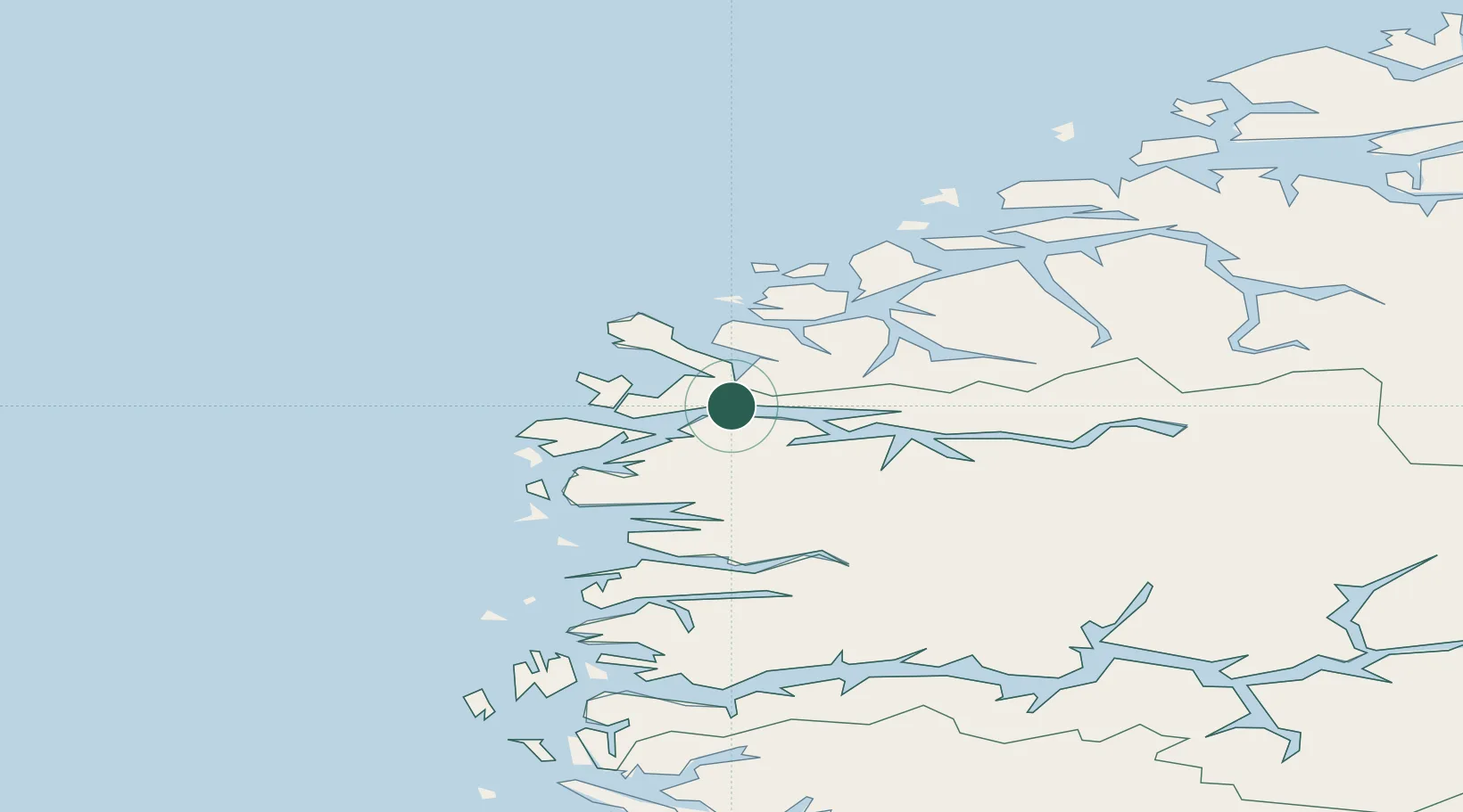
Nearby Logistics Neighbours

Cities
  1. 1Åheim12 km
  2. 2Selje13 km
  3. 3Deknepollen16 km
  4. 4Måløy17 km
  5. 5Raudeberg17 km
Nearest neighbours — logibook spatial index (haversine) over the source coordinates
Ports
  1. 1Maloy17 km
  2. 2Moldtustranda42 km
  3. 3Floro43 km
  4. 4Orstav45 km
  5. 5Hareid58 km
Nearest neighbours — logibook spatial index (haversine) over the source coordinates
Airports
  1. 1Sandane Airport, Anda36 km
  2. 2Ørsta-Volda Airport, Hovden43 km
  3. 3Florø Airport45 km
  4. 4Førde Airport, Bringeland62 km
  5. 5Ålesund Airport78 km
Nearest neighbours — logibook spatial index (haversine) over the source coordinates
Trade Zones
  1. 1Gothenburg Boundless Customs Warehouse589 km
  2. 2Freeport of Copenhagen- Nordhavn804 km
  3. 3MTS Malmö Transport and Spedition829 km
  4. 4North Eastern Enterprise Zone876 km
  5. 5Freeport of Kiel889 km
Nearest neighbours — logibook spatial index (haversine) over the source coordinates
DatabookThe Record of Consolidated Knowledge
Norway beyond logistics?
Browse databook

All Sources

LocationsUN/LOCODE
UN/LOCODE — free
Portsthe NGA World Port Index
Public domain (US gov)
AirportsOurAirports
Public domain
Trade Zonesthe World Bank SEZ database
CC BY 4.0
Trade ZonesOpen Zone Map
CC BY
← Norway locations