Transport Functions
Port
Hub Profile
Place type
Populated place
Region
Møre og Romsdal
Time zone
Europe/Oslo
Elevation
260 m
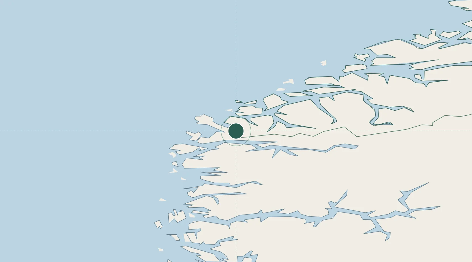
Location
Nearby Logistics Neighbours
Cities
- 1Fiskåbygd - Vanylven8 km
- 2Selje10 km
- 3Kalvneset12 km
- 4Stadlandet15 km
- 5Rovde21 km
Ports
- 1Maloy24 km
- 2Moldtustranda30 km
- 3Orstav36 km
- 4Hareid46 km
- 5Floro54 km
Airports
- 1Ørsta-Volda Airport, Hovden33 km
- 2Sandane Airport, Anda38 km
- 3Florø Airport56 km
- 4Ålesund Airport66 km
- 5Førde Airport, Bringeland73 km
Trade Zones
DatabookThe Record of Consolidated Knowledge
Norway beyond logistics?