Transport Functions
Port
Hub Profile
Region
14
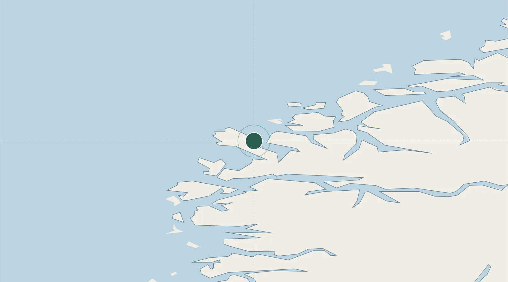
Location
Nearby Logistics Neighbours
Cities
- 1Selje11 km
- 2Fiskåbygd - Vanylven13 km
- 3Åheim15 km
- 4Gursken17 km
- 5Larsnes17 km
Ports
- 1Maloy25 km
- 2Moldtustranda25 km
- 3Orstav42 km
- 4Hareid46 km
- 5Alesund58 km
Airports
- 1Ørsta-Volda Airport, Hovden40 km
- 2Sandane Airport, Anda53 km
- 3Ålesund Airport63 km
- 4Florø Airport63 km
- 5Førde Airport, Bringeland86 km
Trade Zones
DatabookThe Record of Consolidated Knowledge
Norway beyond logistics?