UN/LOCODE hub · Norway
NOFSK

Fiskåbygd - Vanylven

62.1000°, 5.5500°
1
Transport functions

Transport Functions

Port
UN/LOCODE

Hub Profile

Region
15
GeoNames

Location

Location of NOFSK
Natural Earth 10m (public domain) · 15 · NOFSK · 62.10, 5.55GoogleOSMYandex

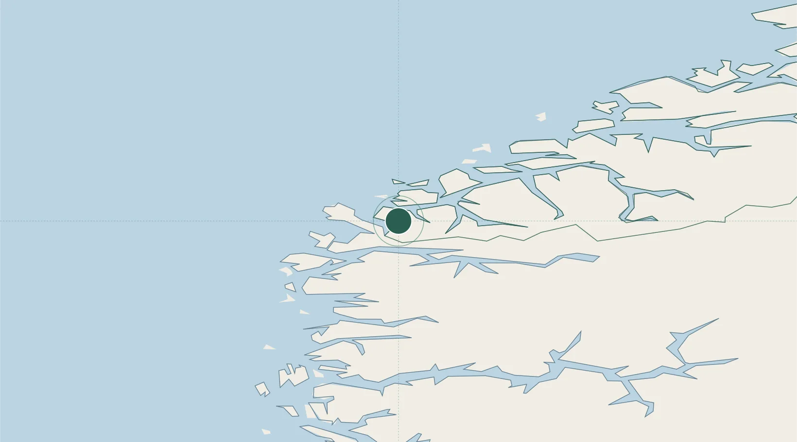
Nearby Logistics Neighbours

Cities
  1. 1Åheim8 km
  2. 2Stadlandet13 km
  3. 3Larsnes13 km
  4. 4Selje14 km
  5. 5Rovde14 km
Nearest neighbours — logibook spatial index (haversine) over the source coordinates
Ports
  1. 1Moldtustranda23 km
  2. 2Maloy29 km
  3. 3Orstav31 km
  4. 4Hareid39 km
  5. 5Alesund52 km
Nearest neighbours — logibook spatial index (haversine) over the source coordinates
Airports
  1. 1Ørsta-Volda Airport, Hovden29 km
  2. 2Sandane Airport, Anda42 km
  3. 3Ålesund Airport59 km
  4. 4Florø Airport64 km
  5. 5Førde Airport, Bringeland80 km
Nearest neighbours — logibook spatial index (haversine) over the source coordinates
Trade Zones
  1. 1Gothenburg Boundless Customs Warehouse600 km
  2. 2Jönköping Free Zone676 km
  3. 3Freeport of Copenhagen- Nordhavn816 km
  4. 4MTS Malmö Transport and Spedition841 km
  5. 5North Eastern Enterprise Zone895 km
Nearest neighbours — logibook spatial index (haversine) over the source coordinates
DatabookThe Record of Consolidated Knowledge
Norway beyond logistics?
Browse databook

All Sources

LocationsUN/LOCODE
UN/LOCODE — free
Portsthe NGA World Port Index
Public domain (US gov)
AirportsOurAirports
Public domain
Trade Zonesthe World Bank SEZ database
CC BY 4.0
Trade ZonesOpen Zone Map
CC BY
← Norway locations