UN/LOCODE hub · Norway
NOSDZ

Stordal

62.3667°, 6.9833°
2
Transport functions

Transport Functions

Port
Road
UN/LOCODE

Hub Profile

Place type
Provincial seat
GeoNames
Region
Møre og Romsdal
GeoNames
Time zone
Europe/Oslo
GeoNames
Elevation
20 m
GeoNames

Location

Location of NOSDZ
Natural Earth 10m (public domain) · Møre og Romsdal · NOSDZ · 62.37, 6.98GoogleOSMYandex

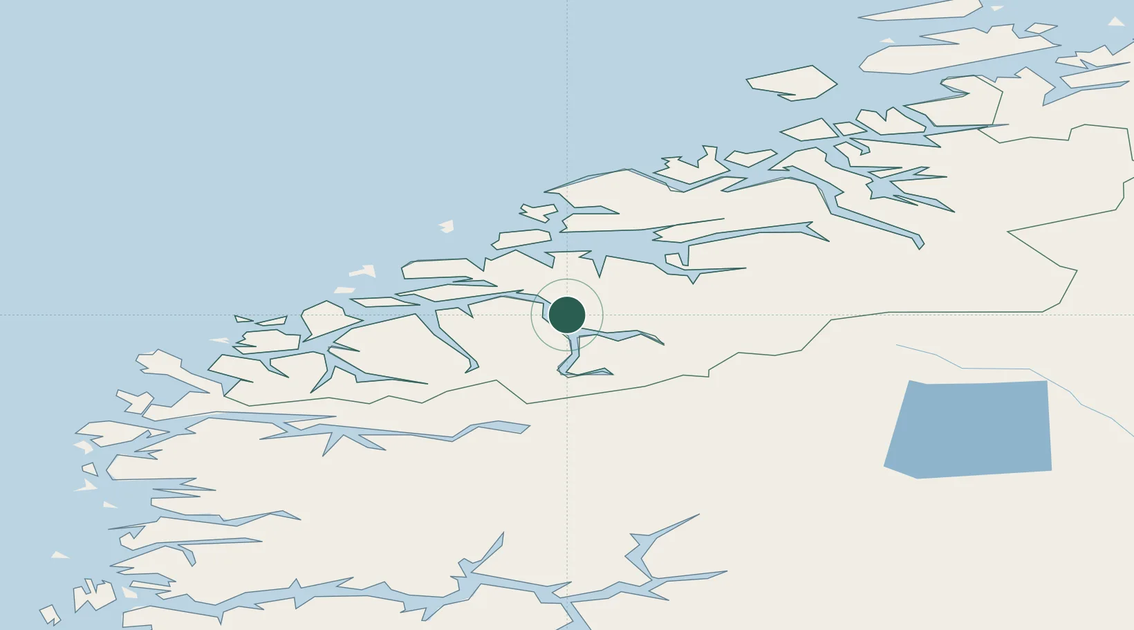
Nearby Logistics Neighbours

Cities
  1. 1Stranda8 km
  2. 2Raudbergvika12 km
  3. 3Sövik14 km
  4. 4Sjøholt15 km
  5. 5Eidsdal15 km
Nearest neighbours — logibook spatial index (haversine) over the source coordinates
Ports
  1. 1Molde42 km
  2. 2Andalsnes42 km
  3. 3Alesund44 km
  4. 4Orstav49 km
  5. 5Hareid49 km
Nearest neighbours — logibook spatial index (haversine) over the source coordinates
Airports
  1. 1Molde Airport, Årø44 km
  2. 2Ålesund Airport50 km
  3. 3Ørsta-Volda Airport, Hovden51 km
  4. 4Sandane Airport, Anda75 km
  5. 5Kristiansund Airport, Kvernberget93 km
Nearest neighbours — logibook spatial index (haversine) over the source coordinates
Trade Zones
  1. 1Gothenburg Boundless Customs Warehouse583 km
  2. 2Jönköping Free Zone645 km
  3. 3Freeport of Copenhagen- Nordhavn806 km
  4. 4MTS Malmö Transport and Spedition828 km
  5. 5Freeport of Kiel912 km
Nearest neighbours — logibook spatial index (haversine) over the source coordinates
DatabookThe Record of Consolidated Knowledge
Norway beyond logistics?
Browse databook

All Sources

LocationsUN/LOCODE
UN/LOCODE — free
Portsthe NGA World Port Index
Public domain (US gov)
AirportsOurAirports
Public domain
Trade Zonesthe World Bank SEZ database
CC BY 4.0
Trade ZonesOpen Zone Map
CC BY
← Norway locations