UN/LOCODE hub · Norway
NOSJO

Sjøholt

62.4667°, 6.8000°
2
Transport functions

Transport Functions

Port
Road
UN/LOCODE

Hub Profile

Region
15
GeoNames

Location

Location of NOSJO
Natural Earth 10m (public domain) · 15 · NOSJO · 62.47, 6.80GoogleOSMYandex

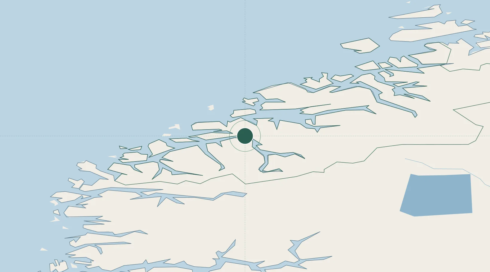
Nearby Logistics Neighbours

Cities
  1. 1Sövik5 km
  2. 2Håeimsvika6 km
  3. 3Sykkylven14 km
  4. 4Tomrefjord14 km
  5. 5Stordal15 km
Nearest neighbours — logibook spatial index (haversine) over the source coordinates
Ports
  1. 1Alesund33 km
  2. 2Molde35 km
  3. 3Hareid41 km
  4. 4Andalsnes46 km
  5. 5Orstav47 km
Nearest neighbours — logibook spatial index (haversine) over the source coordinates
Airports
  1. 1Ålesund Airport37 km
  2. 2Molde Airport, Årø39 km
  3. 3Ørsta-Volda Airport, Hovden49 km
  4. 4Sandane Airport, Anda79 km
  5. 5Kristiansund Airport, Kvernberget89 km
Nearest neighbours — logibook spatial index (haversine) over the source coordinates
Trade Zones
  1. 1Gothenburg Boundless Customs Warehouse598 km
  2. 2Jönköping Free Zone660 km
  3. 3Freeport of Copenhagen- Nordhavn820 km
  4. 4MTS Malmö Transport and Spedition843 km
  5. 5Freeport of Kiel925 km
Nearest neighbours — logibook spatial index (haversine) over the source coordinates
DatabookThe Record of Consolidated Knowledge
Norway beyond logistics?
Browse databook

All Sources

LocationsUN/LOCODE
UN/LOCODE — free
Portsthe NGA World Port Index
Public domain (US gov)
AirportsOurAirports
Public domain
Trade Zonesthe World Bank SEZ database
CC BY 4.0
Trade ZonesOpen Zone Map
CC BY
← Norway locations