Transport Functions
Port
Road
Hub Profile
Region
15
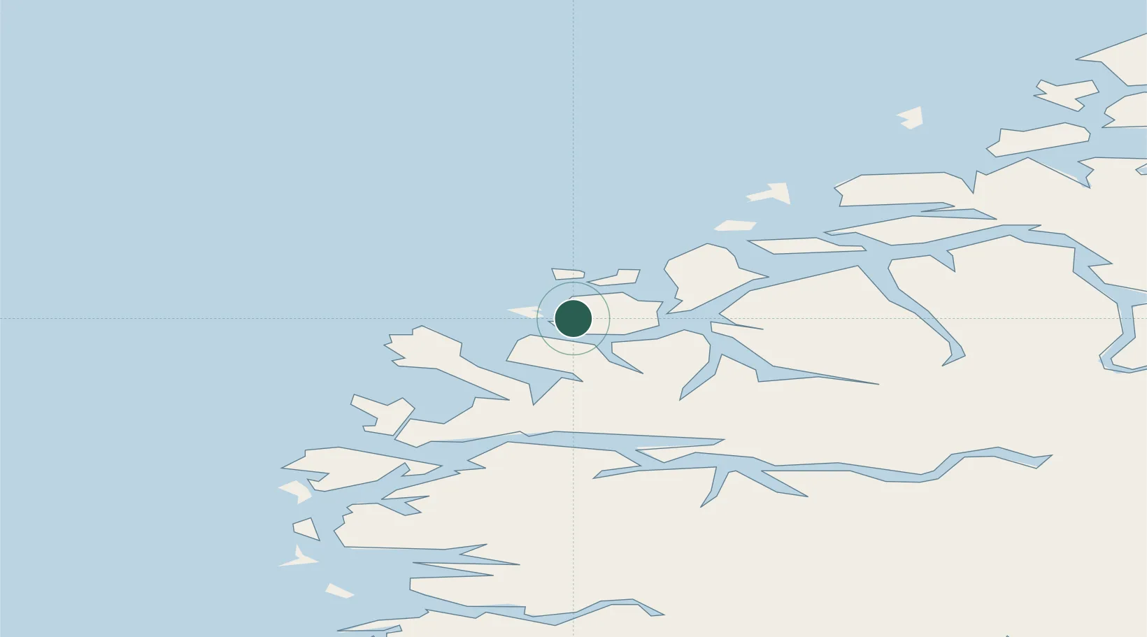
Location
Nearby Logistics Neighbours
Cities
- 1Gjerdsvika2 km
- 2Larsnes3 km
- 3Moldtustranda6 km
- 4Eggesbønes10 km
- 5Tjørvåg10 km
Ports
- 1Moldtustranda9 km
- 2Orstav29 km
- 3Hareid29 km
- 4Alesund40 km
- 5Maloy41 km
Airports
- 1Ørsta-Volda Airport, Hovden27 km
- 2Ålesund Airport46 km
- 3Sandane Airport, Anda53 km
- 4Florø Airport78 km
- 5Førde Airport, Bringeland94 km
Trade Zones
DatabookThe Record of Consolidated Knowledge
Norway beyond logistics?