Transport Functions
Port
Road
Hub Profile
Place type
Locality
Region
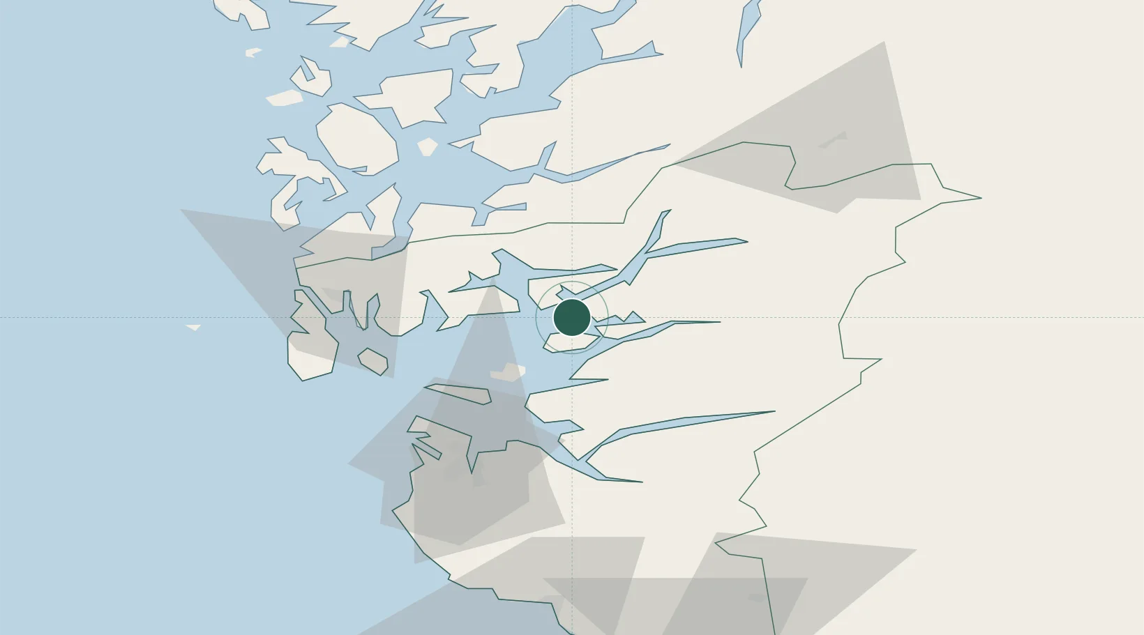
Rogaland
Time zone
Europe/Oslo
Elevation
5 m
Location
Nearby Logistics Neighbours
Cities
- 1Skiftun9 km
- 2Ombo11 km
- 3Erfjord - Suldal11 km
- 4Hjelmeland15 km
- 5Raunes - Vindafjord19 km
Airports
- 1Haugesund Airport, Karmøy46 km
- 2Stavanger Airport, Sola55 km
- 3Stord Airport, Sørstokken64 km
- 4Bergen Airport, Flesland116 km
- 5Kristiansand Airport173 km
Trade Zones
- 1Gothenburg Boundless Customs Warehouse382 km
- 2Jönköping Free Zone500 km
- 3Freeport of Copenhagen- Nordhavn562 km
- 4MTS Malmö Transport and Spedition592 km
- 5Freeport of Kiel610 km
DatabookThe Record of Consolidated Knowledge
Norway beyond logistics?