UN/LOCODE hub · Norway
NOLFF

Listraumen

61.1333°, 5.2000°
1
Transport functions

Transport Functions

Port
UN/LOCODE

Hub Profile

Region
14
GeoNames

Location

Location of NOLFF
Natural Earth 10m (public domain) · 14 · NOLFF · 61.13, 5.20GoogleOSMYandex

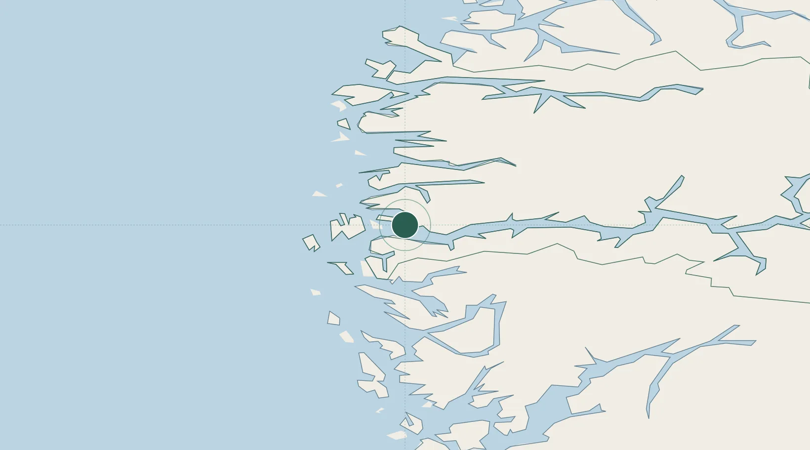
Nearby Logistics Neighbours

Cities
  1. 1Hyllestad6 km
  2. 2Leirvik i Hyllestad7 km
  3. 3Rutledal8 km
  4. 4Eivindvik18 km
  5. 5Lutelandet18 km
Nearest neighbours — logibook spatial index (haversine) over the source coordinates
Ports
  1. 1Mongstad35 km
  2. 2Floro53 km
  3. 3Stura60 km
  4. 4Vaksdal78 km
  5. 5Bergen81 km
Nearest neighbours — logibook spatial index (haversine) over the source coordinates
Airports
  1. 1Førde Airport, Bringeland41 km
  2. 2Florø Airport51 km
  3. 3Sandane Airport, Anda91 km
  4. 4Bergen Airport, Flesland93 km
  5. 5Sogndal Airport, Haukåsen104 km
Nearest neighbours — logibook spatial index (haversine) over the source coordinates
Trade Zones
  1. 1Gothenburg Boundless Customs Warehouse534 km
  2. 2Freeport of Copenhagen- Nordhavn740 km
  3. 3MTS Malmö Transport and Spedition767 km
  4. 4North Eastern Enterprise Zone794 km
  5. 5Freeport of Kiel811 km
Nearest neighbours — logibook spatial index (haversine) over the source coordinates
DatabookThe Record of Consolidated Knowledge
Norway beyond logistics?
Browse databook

All Sources

LocationsUN/LOCODE
UN/LOCODE — free
Portsthe NGA World Port Index
Public domain (US gov)
AirportsOurAirports
Public domain
Trade Zonesthe World Bank SEZ database
CC BY 4.0
Trade ZonesOpen Zone Map
CC BY
← Norway locations