Transport Functions
Port
Road
Hub Profile
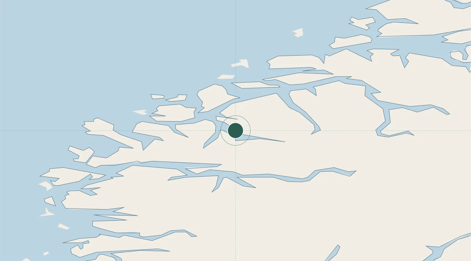
Place type
Provincial seat
Region
Møre og Romsdal
Population
10,809
Time zone
Europe/Oslo
Elevation
33 m
Location
Nearby Logistics Neighbours
Cities
- 1Voldafjorden5 km
- 2Ørsta6 km
- 3Rovde17 km
- 4Vartdal19 km
- 5Tjørvåg23 km
Ports
- 1Orstav8 km
- 2Hareid27 km
- 3Moldtustranda28 km
- 4Alesund38 km
- 5Maloy54 km
Airports
- 1Ørsta-Volda Airport, Hovden5 km
- 2Sandane Airport, Anda34 km
- 3Ålesund Airport48 km
- 4Florø Airport81 km
- 5Førde Airport, Bringeland84 km
Trade Zones
- 1Gothenburg Boundless Customs Warehouse587 km
- 2Jönköping Free Zone660 km
- 3Freeport of Copenhagen- Nordhavn806 km
- 4MTS Malmö Transport and Spedition830 km
- 5Freeport of Kiel900 km
DatabookThe Record of Consolidated Knowledge
Norway beyond logistics?