UN/LOCODE hub · Norway
NOFLY

Flatøy

60.5333°, 5.2500°
1
Transport functions

Transport Functions

Port
UN/LOCODE

Hub Profile

Region
12
GeoNames

Location

Location of NOFLY
Natural Earth 10m (public domain) · 12 · NOFLY · 60.53, 5.25GoogleOSMYandex

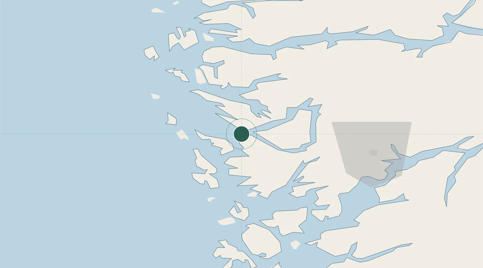
Nearby Logistics Neighbours

Cities
  1. 1Flatoy0 km
  2. 2Frekhaug2 km
  3. 3Hordvik3 km
  4. 4Mjolkeraen6 km
  5. 5Eidsnes12 km
Nearest neighbours — logibook spatial index (haversine) over the source coordinates
Ports
  1. 1Bergen15 km
  2. 2Brattholmen21 km
  3. 3Haakonsvern22 km
  4. 4Stura23 km
  5. 5Vaksdal27 km
Nearest neighbours — logibook spatial index (haversine) over the source coordinates
Airports
  1. 1Bergen Airport, Flesland27 km
  2. 2Stord Airport, Sørstokken83 km
  3. 3Førde Airport, Bringeland99 km
  4. 4Florø Airport117 km
  5. 5Sogndal Airport, Haukåsen124 km
Nearest neighbours — logibook spatial index (haversine) over the source coordinates
Trade Zones
  1. 1Gothenburg Boundless Customs Warehouse489 km
  2. 2Freeport of Copenhagen- Nordhavn687 km
  3. 3MTS Malmö Transport and Spedition715 km
  4. 4North Eastern Enterprise Zone740 km
  5. 5Freeport of Kiel749 km
Nearest neighbours — logibook spatial index (haversine) over the source coordinates
DatabookThe Record of Consolidated Knowledge
Norway beyond logistics?
Browse databook

All Sources

LocationsUN/LOCODE
UN/LOCODE — free
Portsthe NGA World Port Index
Public domain (US gov)
AirportsOurAirports
Public domain
Trade Zonesthe World Bank SEZ database
CC BY 4.0
Trade ZonesOpen Zone Map
CC BY
← Norway locations