UN/LOCODE hub · Norway
NONZL

Glesvær

60.2000°, 5.0333°
3
Transport functions

Transport Functions

Port
Road
Multimodal
UN/LOCODE

Hub Profile

Region
12
GeoNames

Location

Location of NONZL
Natural Earth 10m (public domain) · 12 · NONZL · 60.20, 5.03GoogleOSMYandex

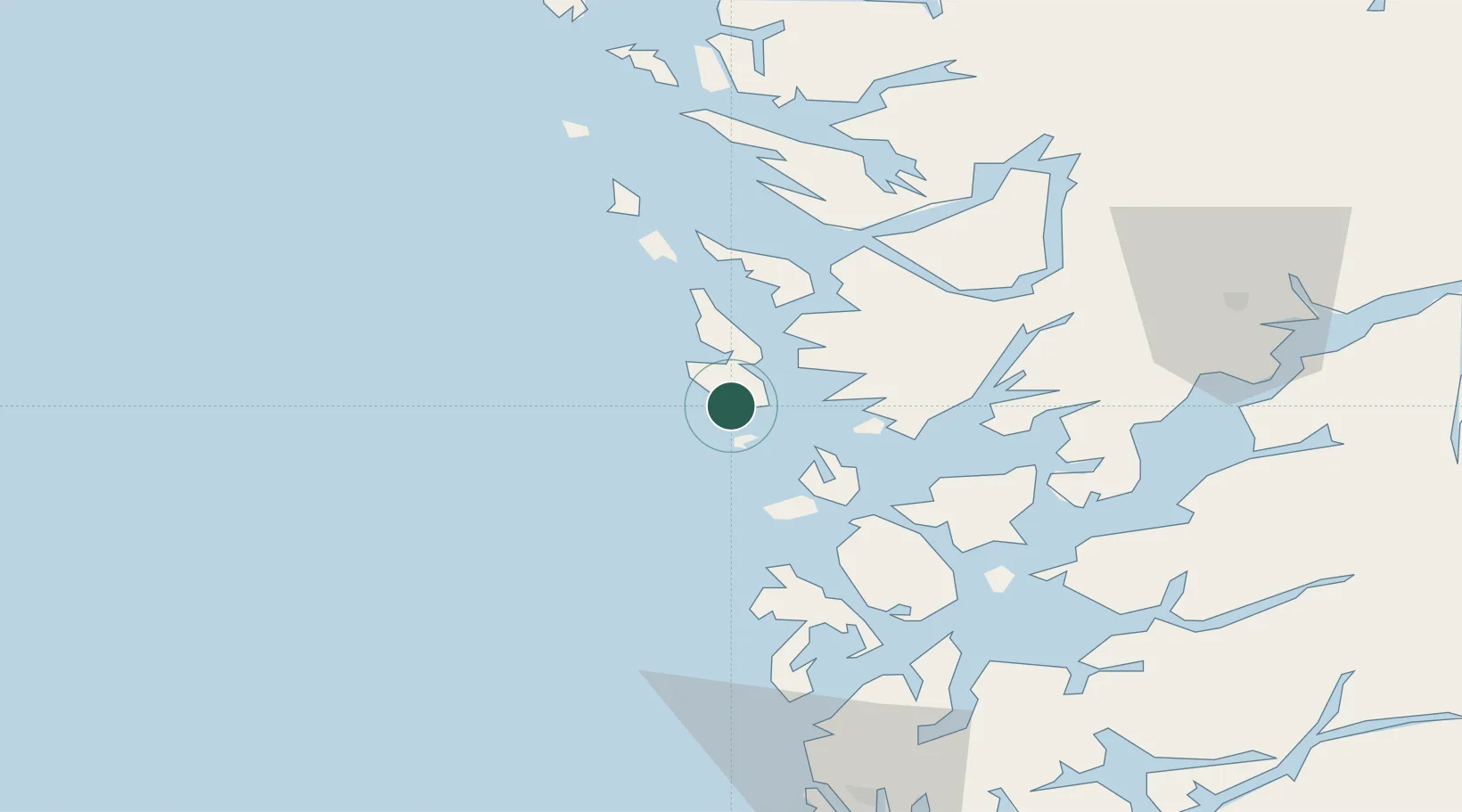
Nearby Logistics Neighbours

Cities
  1. 1Eide Sotra6 km
  2. 2Tælavåg6 km
  3. 3Skogsvåg7 km
  4. 4Torangsvåg12 km
  5. 5Austevoll13 km
Nearest neighbours — logibook spatial index (haversine) over the source coordinates
Ports
  1. 1Brattholmen18 km
  2. 2Haakonsvern19 km
  3. 3Bergen27 km
  4. 4Stura48 km
  5. 5Vaksdal49 km
Nearest neighbours — logibook spatial index (haversine) over the source coordinates
Airports
  1. 1Bergen Airport, Flesland15 km
  2. 2Stord Airport, Sørstokken49 km
  3. 3Haugesund Airport, Karmøy96 km
  4. 4Førde Airport, Bringeland138 km
  5. 5Stavanger Airport, Sola151 km
Nearest neighbours — logibook spatial index (haversine) over the source coordinates
Trade Zones
  1. 1Gothenburg Boundless Customs Warehouse477 km
  2. 2Freeport of Copenhagen- Nordhavn669 km
  3. 3MTS Malmö Transport and Spedition698 km
  4. 4North Eastern Enterprise Zone704 km
  5. 5Freeport of Kiel721 km
Nearest neighbours — logibook spatial index (haversine) over the source coordinates
DatabookThe Record of Consolidated Knowledge
Norway beyond logistics?
Browse databook

All Sources

LocationsUN/LOCODE
UN/LOCODE — free
Portsthe NGA World Port Index
Public domain (US gov)
AirportsOurAirports
Public domain
Trade Zonesthe World Bank SEZ database
CC BY 4.0
Trade ZonesOpen Zone Map
CC BY
← Norway locations