Transport Functions
Port
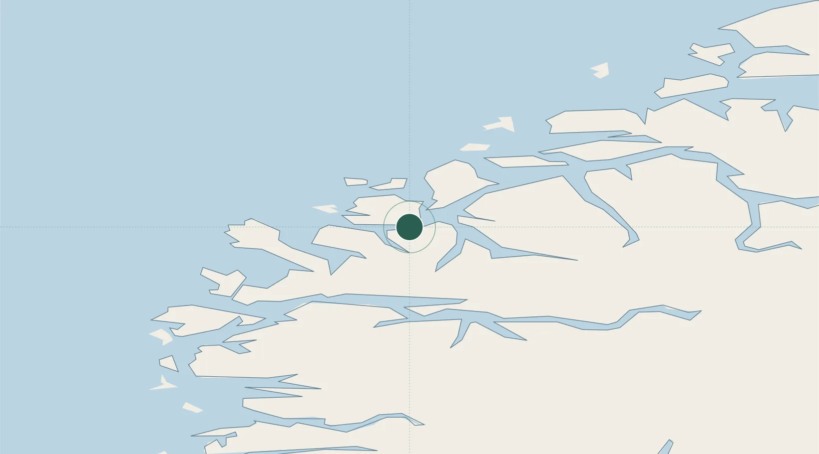
Hub Profile
Place type
Populated place
Region
Møre og Romsdal
Time zone
Europe/Oslo
Elevation
25 m
Location
Nearby Logistics Neighbours
Cities
- 1Larsnes9 km
- 2Gursken11 km
- 3Tjørvåg11 km
- 4Gjerdsvika13 km
- 5Moldtustranda13 km
Ports
- 1Moldtustranda14 km
- 2Orstav19 km
- 3Hareid26 km
- 4Alesund38 km
- 5Maloy43 km
Airports
- 1Ørsta-Volda Airport, Hovden17 km
- 2Sandane Airport, Anda44 km
- 3Ålesund Airport46 km
- 4Florø Airport77 km
- 5Førde Airport, Bringeland88 km
Trade Zones
DatabookThe Record of Consolidated Knowledge
Norway beyond logistics?