Transport Functions
Rail
Road
Hub Profile
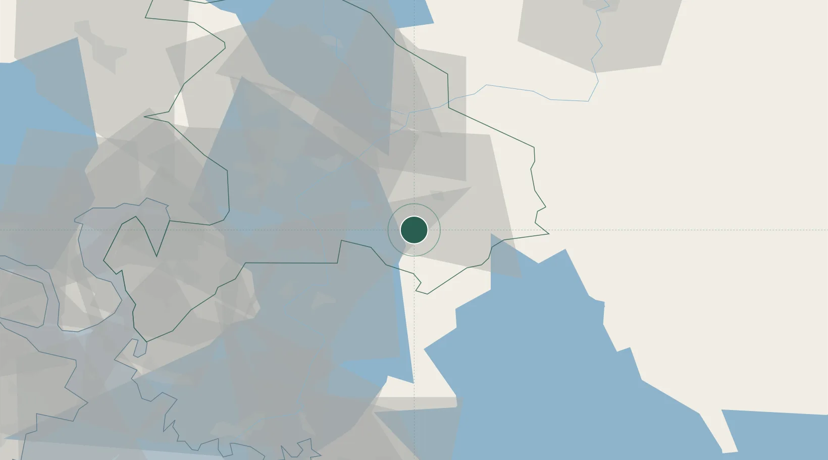
Place type
Populated place
Region
Akershus
Population
557
Time zone
Europe/Oslo
Elevation
138 m
Location
Nearby Logistics Neighbours
Ports
- 1Oslo42 km
- 2Drobak51 km
- 3Fagerstrand51 km
- 4Kambo59 km
- 5Tofte60 km
Airports
- 1Oslo-Gardermoen International Airport47 km
- 2Moss Airport, Rygge63 km
- 3Torsby Airport92 km
- 4Sandefjord Airport, Torp98 km
- 5Karlstad Airport112 km
Trade Zones
DatabookThe Record of Consolidated Knowledge
Norway beyond logistics?