Transport Functions
Port
Road
Hub Profile
Place type
Populated place
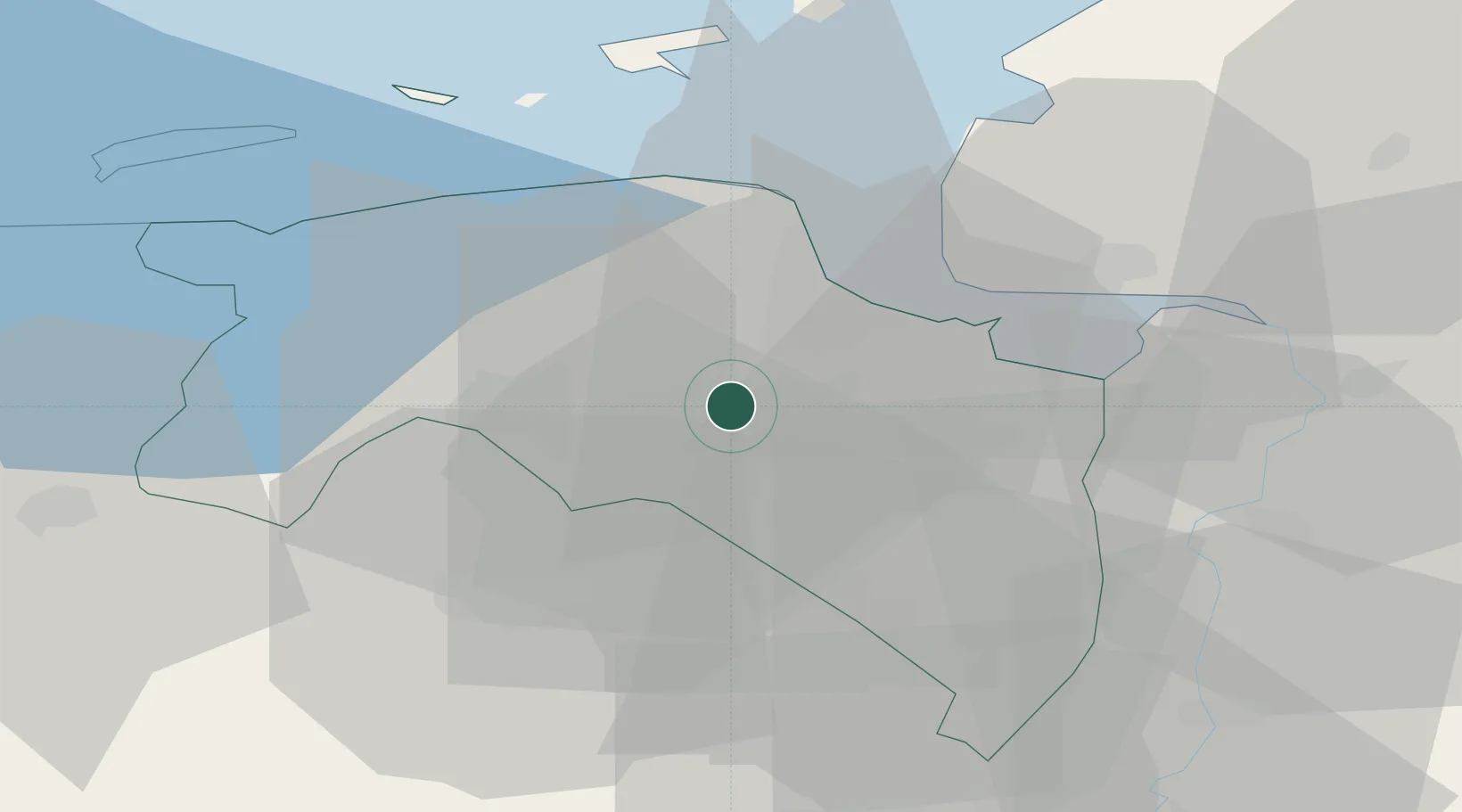
Region
Groningen
Population
2,055
Time zone
Europe/Amsterdam
Elevation
-1 m
Location
Nearby Logistics Neighbours
Cities
- 1Schildwolde2 km
- 2Lageland6 km
- 3Zuidbroek7 km
- 4Overschild8 km
- 5't Waar9 km
Airports
- 1Groningen Airport Eelde18 km
- 2Emden Airport34 km
- 3Borkum Airport43 km
- 4Norden-Norddeich Airport53 km
- 5Juist Airport54 km
Trade Zones
DatabookThe Record of Consolidated Knowledge
Netherlands beyond logistics?