Transport Functions
Port
Road
Hub Profile
Place type
Populated place
Region
Groningen
Time zone
Europe/Amsterdam
Elevation
-2 m
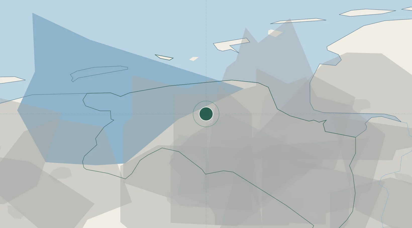
Location
Nearby Logistics Neighbours
Cities
- 1Middelstum2 km
- 2Kantens4 km
- 3Ten Boer7 km
- 4Doodstil8 km
- 5Zuidwolde8 km
Airports
- 1Groningen Airport Eelde24 km
- 2Borkum Airport30 km
- 3Emden Airport40 km
- 4Juist Airport48 km
- 5Norden-Norddeich Airport50 km
Trade Zones
DatabookThe Record of Consolidated Knowledge
Netherlands beyond logistics?