Transport Functions
Rail
Road
Hub Profile
Place type
Urban district
Region
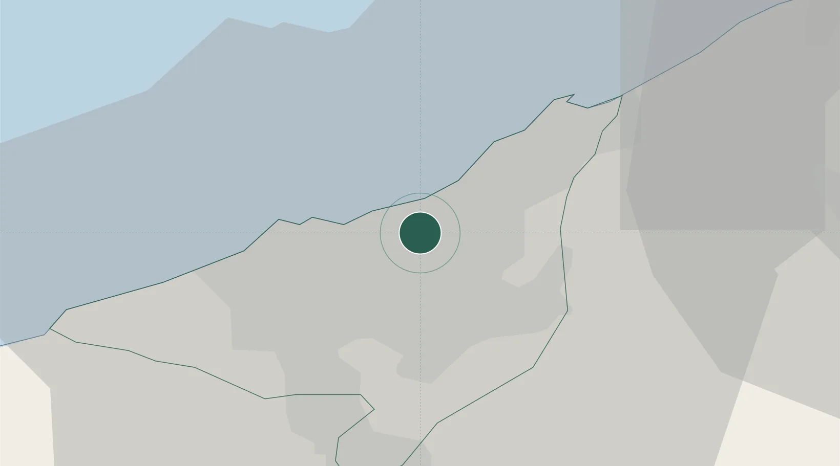
Casablanca-Settat
Time zone
Africa/Casablanca
Elevation
30 m
Location
Nearby Logistics Neighbours
Cities
- 1Roches Noires3 km
- 2Casablanca5 km
- 3Aïn Harrouda9 km
- 4Mediouna17 km
- 5Bouskoura21 km
Ports
- 1Casablanca8 km
- 2Mohammedia18 km
- 3El Jadida98 km
- 4El Jorf Lasfar114 km
- 5Kenitra116 km
Airports
- 1Mohammed V International Airport26 km
- 2Rabat-Salé Airport88 km
- 3Kenitra Air Base116 km
- 4Beni Mellal Airport175 km
- 5Bassatine Airport189 km
Trade Zones
- 1Casablanca MIDPARC Free Zone26 km
- 2Settat Industrial Park - SETTAPARK69 km
- 3Technopolis87 km
- 4Jorf Lasfar Industrial Park111 km
- 5Zona Franca Kenitra Atlantic132 km
DatabookThe Record of Consolidated Knowledge
Morocco beyond logistics?