Transport Functions
Multimodal
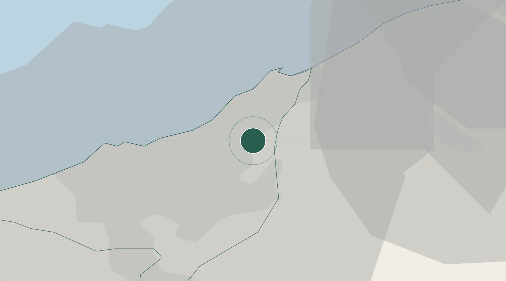
Hub Profile
Place type
Populated place
Region
Casablanca-Settat
Population
68,161
Time zone
Africa/Casablanca
Elevation
31 m
Location
Nearby Logistics Neighbours
Cities
- 1Aïn Sebaa9 km
- 2Roches Noires13 km
- 3Casablanca14 km
- 4Mediouna20 km
- 5Bouskoura28 km
Ports
- 1Mohammedia12 km
- 2Casablanca17 km
- 3El Jadida107 km
- 4Kenitra108 km
- 5El Jorf Lasfar123 km
Airports
- 1Mohammed V International Airport31 km
- 2Rabat-Salé Airport79 km
- 3Kenitra Air Base108 km
- 4Beni Mellal Airport171 km
- 5Bassatine Airport180 km
Trade Zones
- 1Casablanca MIDPARC Free Zone30 km
- 2Settat Industrial Park - SETTAPARK73 km
- 3Technopolis78 km
- 4Jorf Lasfar Industrial Park120 km
- 5Zona Franca Kenitra Atlantic124 km
DatabookThe Record of Consolidated Knowledge
Morocco beyond logistics?