Transport Functions
Multimodal
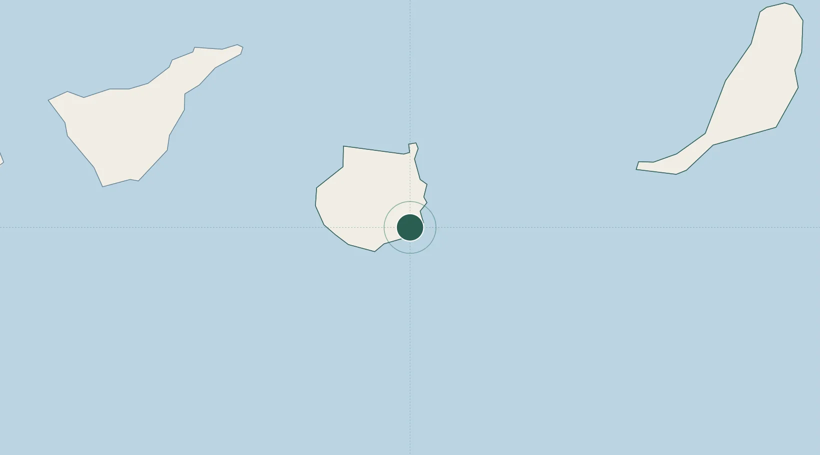
Hub Profile
Place type
Populated place
Region
Canary Islands
Population
14,910
Time zone
Atlantic/Canary
Elevation
97 m
Location
Nearby Logistics Neighbours
Cities
- 1Castillo del Romeral4 km
- 2Juan Grande5 km
- 3Carrizal8 km
- 4Santa Lucia de Tirajana12 km
- 5Sant Bartolome de Tirajana13 km
Ports
- 1Las Palmas35 km
- 2Santa Cruz De Tenerife105 km
- 3Puerto Del Rosario172 km
- 4Laayoune214 km
- 5Arrecife224 km
Airports
- 1Gran Canaria Airport12 km
- 2Tenerife Sur Airport114 km
- 3Tenerife Norte-Ciudad de La Laguna Airport115 km
- 4Fuerteventura Airport169 km
- 5La Gomera Airport176 km
Trade Zones
DatabookThe Record of Consolidated Knowledge
Spain beyond logistics?