Transport Functions
Rail
Road
Hub Profile
Place type
Regional capital
Region
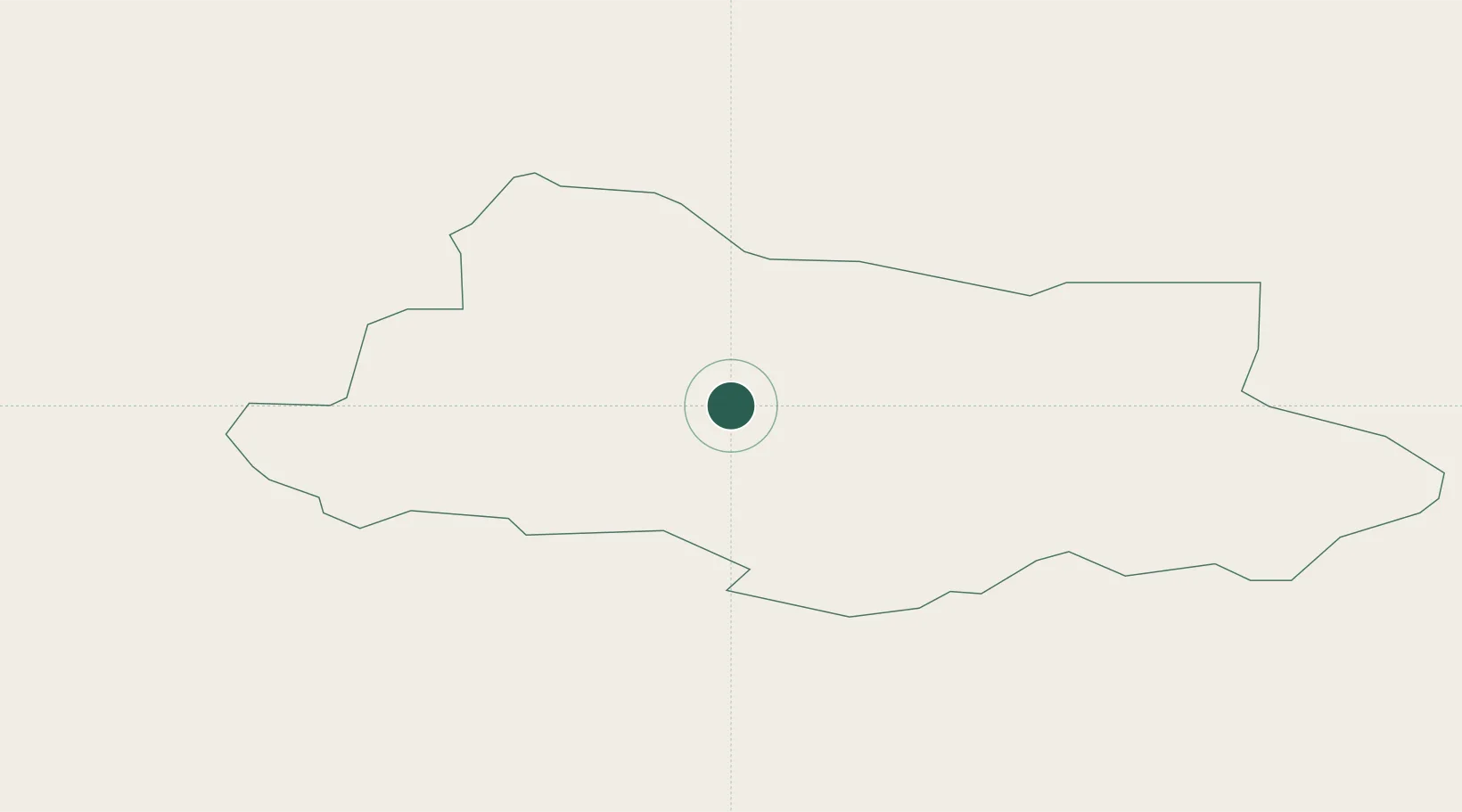
Alūksne Municipality
Population
6,188
Time zone
Europe/Riga
Elevation
193 m
Location
Nearby Logistics Neighbours
Cities
- 1Gulbene33 km
- 2Võru46 km
- 3Lizums48 km
- 4Parksepa54 km
- 5Värska Sadam68 km
Ports
- 1Salacgriva163 km
- 2Riga185 km
- 3Parnu186 km
- 4Sillamae227 km
- 5Kunda237 km
Airports
- 1Ostrov Naval Air Base84 km
- 2Princess Olga Pskov International Airport90 km
- 3Tartu Airport101 km
- 4Jēkabpils Air Base121 km
- 5Daugavpils International Airport165 km
Trade Zones
- 1Moglino Special Economic Zone - Industrial75 km
- 2Latgale SEZ124 km
- 3Rēzekne SEZ124 km
- 4Free Port of Riga185 km
- 5Port of Sillamäe226 km
DatabookThe Record of Consolidated Knowledge
Latvia beyond logistics?