Transport Functions
Rail
Road
Hub Profile
Place type
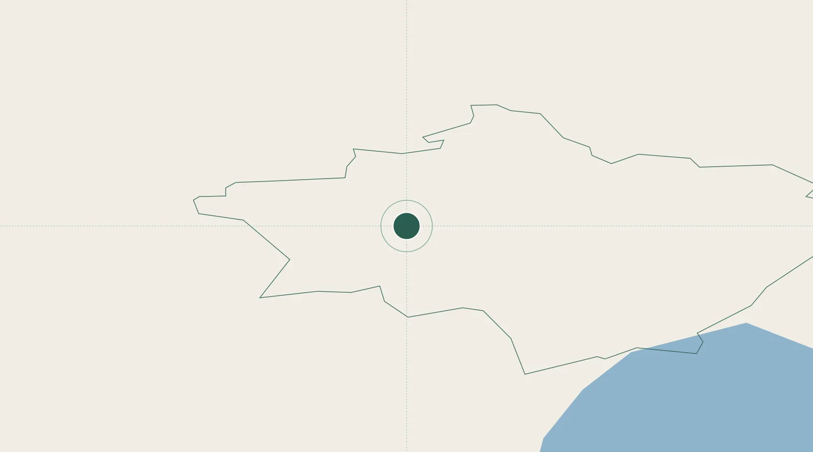
Populated place
Region
Gulbene Municipality
Time zone
Europe/Riga
Elevation
163 m
Location
Nearby Logistics Neighbours
Ports
- 1Salacgriva132 km
- 2Riga140 km
- 3Parnu173 km
- 4Kunda259 km
- 5Sillamae260 km
Airports
- 1Jēkabpils Air Base79 km
- 2Tartu Airport125 km
- 3Ostrov Naval Air Base125 km
- 4Princess Olga Pskov International Airport137 km
- 5Daugavpils International Airport141 km
Trade Zones
- 1Latgale SEZ112 km
- 2Rēzekne SEZ112 km
- 3Moglino Special Economic Zone - Industrial123 km
- 4Free Port of Riga140 km
- 5ō iauliai Free Economic Zone234 km
DatabookThe Record of Consolidated Knowledge
Latvia beyond logistics?