Transport Functions
Rail
Road
Hub Profile
Place type
Regional capital
Region
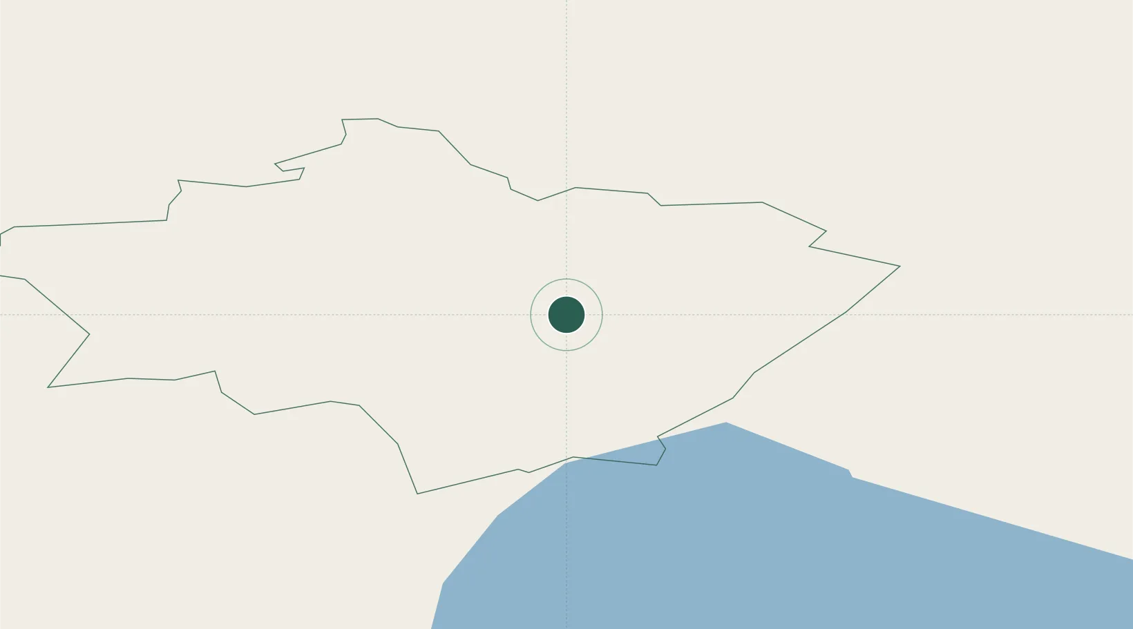
Gulbene Municipality
Population
6,722
Time zone
Europe/Riga
Elevation
120 m
Location
Nearby Logistics Neighbours
Ports
- 1Salacgriva155 km
- 2Riga162 km
- 3Parnu191 km
- 4Sillamae258 km
- 5Kunda263 km
Airports
- 1Jēkabpils Air Base88 km
- 2Ostrov Naval Air Base102 km
- 3Princess Olga Pskov International Airport120 km
- 4Tartu Airport127 km
- 5Daugavpils International Airport136 km
Trade Zones
- 1Latgale SEZ100 km
- 2Rēzekne SEZ100 km
- 3Moglino Special Economic Zone - Industrial106 km
- 4Free Port of Riga162 km
- 5Panevėžys Free Economic Zone249 km
DatabookThe Record of Consolidated Knowledge
Latvia beyond logistics?