UN/LOCODE hub · Estonia
EEVRA

Värska Sadam

57.9500°, 27.6167°
1
Transport functions

Transport Functions

Port
UN/LOCODE

Hub Profile

Region
87
GeoNames

Location

Location of EEVRA
Natural Earth 10m (public domain) · 87 · EEVRA · 57.95, 27.62GoogleOSMYandex

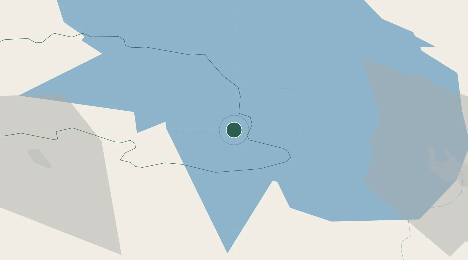
Nearby Logistics Neighbours

Cities
  1. 1Võõpsu Külasadam14 km
  2. 2Võõpsu15 km
  3. 3Räpina21 km
  4. 4Saarepera25 km
  5. 5Mehikoorma Sadam33 km
Nearest neighbours — logibook spatial index (haversine) over the source coordinates
Ports
  1. 1Sillamae164 km
  2. 2Kunda186 km
  3. 3Parnu190 km
  4. 4Salacgriva194 km
  5. 5Ust Luga195 km
Nearest neighbours — logibook spatial index (haversine) over the source coordinates
Airports
  1. 1Princess Olga Pskov International Airport50 km
  2. 2Tartu Airport68 km
  3. 3Ostrov Naval Air Base87 km
  4. 4Smuravyovo Air Base99 km
  5. 5Soltsy-2 Air Base161 km
Nearest neighbours — logibook spatial index (haversine) over the source coordinates
Trade Zones
  1. 1Moglino Special Economic Zone - Industrial37 km
  2. 2Port of Sillamäe164 km
  3. 3Latgale SEZ185 km
  4. 4Rēzekne SEZ185 km
  5. 5Muuga Free Zone213 km
Nearest neighbours — logibook spatial index (haversine) over the source coordinates
DatabookThe Record of Consolidated Knowledge
Estonia beyond logistics?
Browse databook

All Sources

LocationsUN/LOCODE
UN/LOCODE — free
Portsthe NGA World Port Index
Public domain (US gov)
AirportsOurAirports
Public domain
Trade Zonesthe World Bank SEZ database
CC BY 4.0
Trade ZonesOpen Zone Map
CC BY
← Estonia locations