Transport Functions
Multimodal
Hub Profile
Place type
Regional capital
Region
Võrumaa
Population
12,367
Time zone
Europe/Tallinn
Elevation
76 m
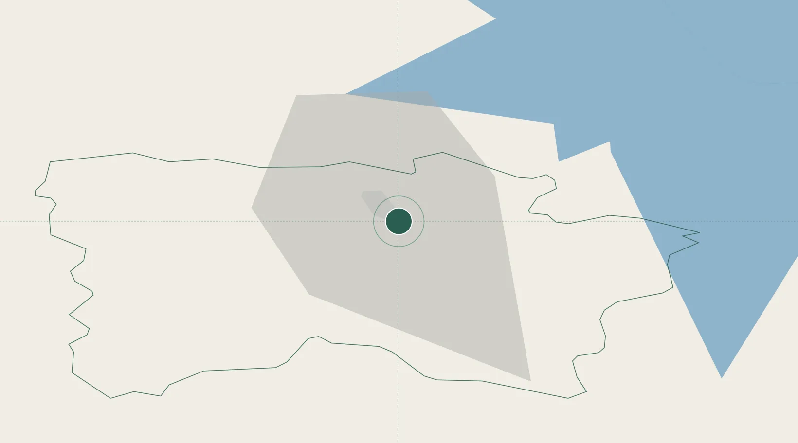
Location
Nearby Logistics Neighbours
Cities
- 1Parksepa8 km
- 2Põlva24 km
- 3Värska Sadam38 km
- 4Võõpsu Külasadam41 km
- 5Võõpsu42 km
Ports
- 1Salacgriva158 km
- 2Parnu161 km
- 3Sillamae182 km
- 4Kunda190 km
- 5Riga201 km
Airports
- 1Tartu Airport56 km
- 2Princess Olga Pskov International Airport82 km
- 3Ostrov Naval Air Base103 km
- 4Smuravyovo Air Base124 km
- 5Jēkabpils Air Base160 km
Trade Zones
- 1Moglino Special Economic Zone - Industrial66 km
- 2Latgale SEZ171 km
- 3Rēzekne SEZ171 km
- 4Port of Sillamäe181 km
- 5Muuga Free Zone200 km
DatabookThe Record of Consolidated Knowledge
Estonia beyond logistics?