Transport Functions
Multimodal
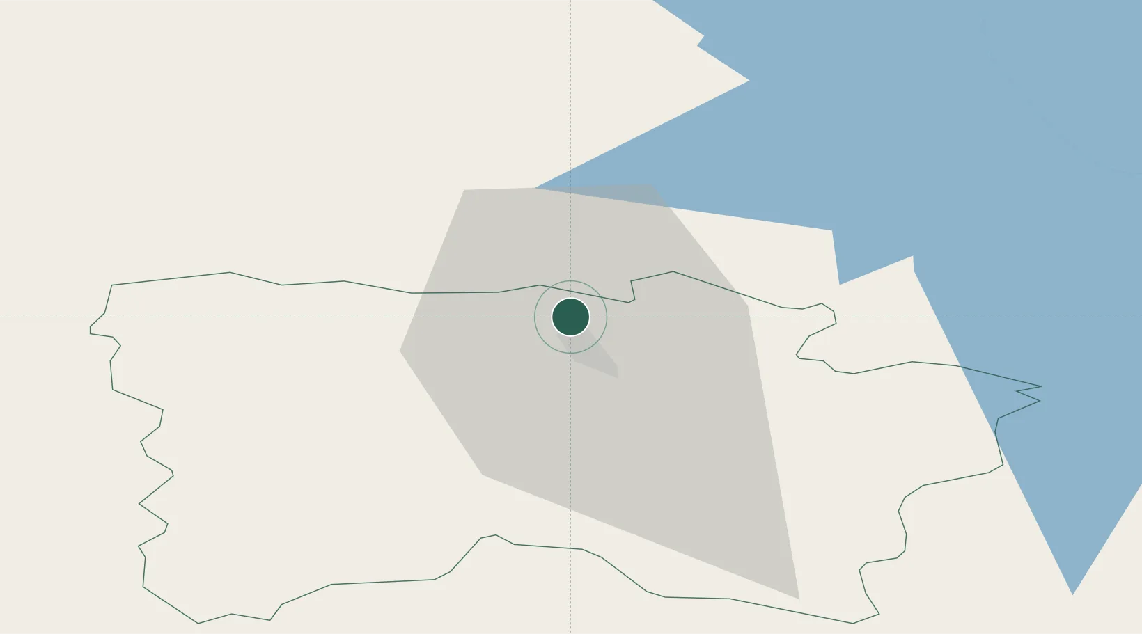
Hub Profile
Place type
Populated place
Region
Võrumaa
Population
737
Time zone
Europe/Tallinn
Elevation
83 m
Location
Nearby Logistics Neighbours
Cities
- 1Võru8 km
- 2Põlva18 km
- 3Värska Sadam39 km
- 4Võõpsu Külasadam39 km
- 5Võõpsu40 km
Ports
- 1Parnu156 km
- 2Salacgriva156 km
- 3Sillamae176 km
- 4Kunda183 km
- 5Loksa201 km
Airports
- 1Tartu Airport48 km
- 2Princess Olga Pskov International Airport86 km
- 3Ostrov Naval Air Base110 km
- 4Smuravyovo Air Base119 km
- 5Pärnu Airport157 km
Trade Zones
- 1Moglino Special Economic Zone - Industrial71 km
- 2Port of Sillamäe175 km
- 3Latgale SEZ178 km
- 4Rēzekne SEZ178 km
- 5Muuga Free Zone192 km
DatabookThe Record of Consolidated Knowledge
Estonia beyond logistics?