Transport Functions
Rail
Road
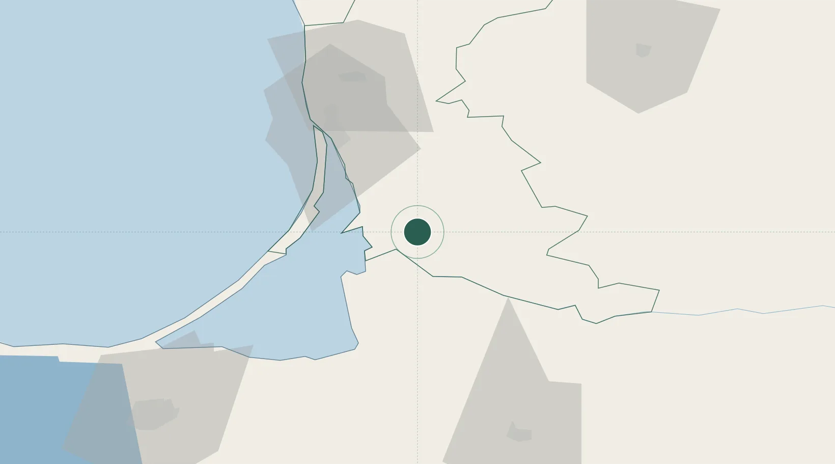
Hub Profile
Place type
Populated place
Region
Tauragė County
Time zone
Europe/Vilnius
Elevation
121 m
Location
Nearby Logistics Neighbours
Ports
- 1Klaipeda46 km
- 2Butinge Oil Terminal82 km
- 3Kaliningrad95 km
- 4Baltiysk127 km
- 5Liepaja133 km
Airports
Trade Zones
- 1Klaipėda Free Economic Zone22 km
- 2Liepāja SEZ110 km
- 3Akmenė Free Economic Zone128 km
- 4ō iauliai Free Economic Zone135 km
- 5Marijampolė Free Economic Zone147 km
DatabookThe Record of Consolidated Knowledge
Lithuania beyond logistics?