Transport Functions
Multimodal
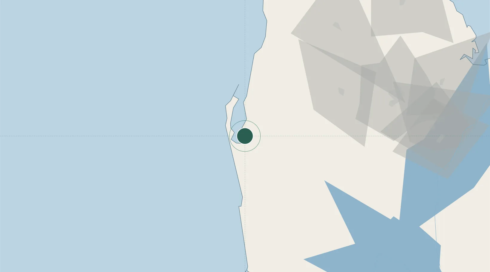
Hub Profile
Place type
Populated place
Region
North Western Province
Population
45,661
Time zone
Asia/Colombo
Elevation
8 m
Location
Nearby Logistics Neighbours
Cities
- 1Gampola40 km
- 2Lunuwila78 km
- 3Kurunegala85 km
- 4Porutota85 km
- 5Bogahawatta90 km
Ports
- 1Colombo121 km
- 2Trincomalee Harbor164 km
- 3Kankesanturai200 km
- 4Tuticorin201 km
- 5Galle Harbor227 km
Airports
Trade Zones
DatabookThe Record of Consolidated Knowledge
Sri Lanka beyond logistics?