Transport Functions
Multimodal
Hub Profile
Place type
Populated place
Region
Western Province
Time zone
Asia/Colombo
Elevation
10 m
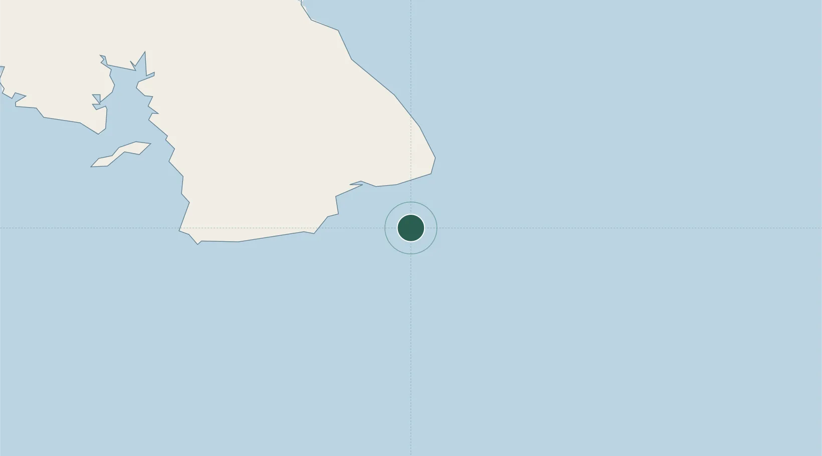
Location
Nearby Logistics Neighbours
Cities
- 1Bayano53 km
- 2Santo Domingo57 km
- 3Perales61 km
- 4Agua Buena70 km
- 5Los Santos83 km
Ports
- 1Vacamonte184 km
- 2Balboa196 km
- 3Punta Rincon206 km
- 4Puerto Cristobal232 km
- 5Puerto Colon235 km
Airports
- 1Capt. J. Montenegro Airport30 km
- 2Alonso Valderrama Airport88 km
- 3Scarlett Martinez International Airport123 km
- 4Ruben Cantu Airport132 km
- 5Pixvae Airstrip176 km
Trade Zones
DatabookThe Record of Consolidated Knowledge
Sri Lanka beyond logistics?