Transport Functions
Port
Road
Hub Profile
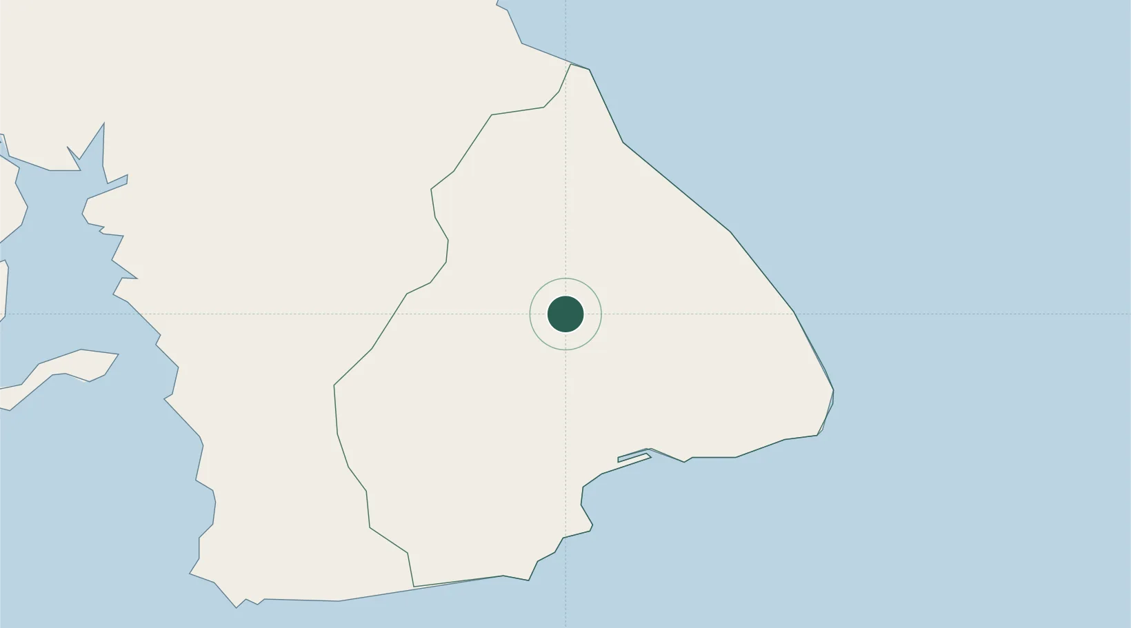
Place type
District seat
Region
Los Santos Province
Population
224
Time zone
America/Panama
Elevation
258 m
Location
Nearby Logistics Neighbours
Cities
- 1Perales17 km
- 2Santo Domingo20 km
- 3Agua Buena21 km
- 4Los Santos34 km
- 5Chitre38 km
Ports
- 1Punta Rincon158 km
- 2Vacamonte158 km
- 3Balboa172 km
- 4Puerto Cristobal198 km
- 5Puerto Colon200 km
Airports
Trade Zones
DatabookThe Record of Consolidated Knowledge
Panama beyond logistics?