Transport Functions
Multimodal
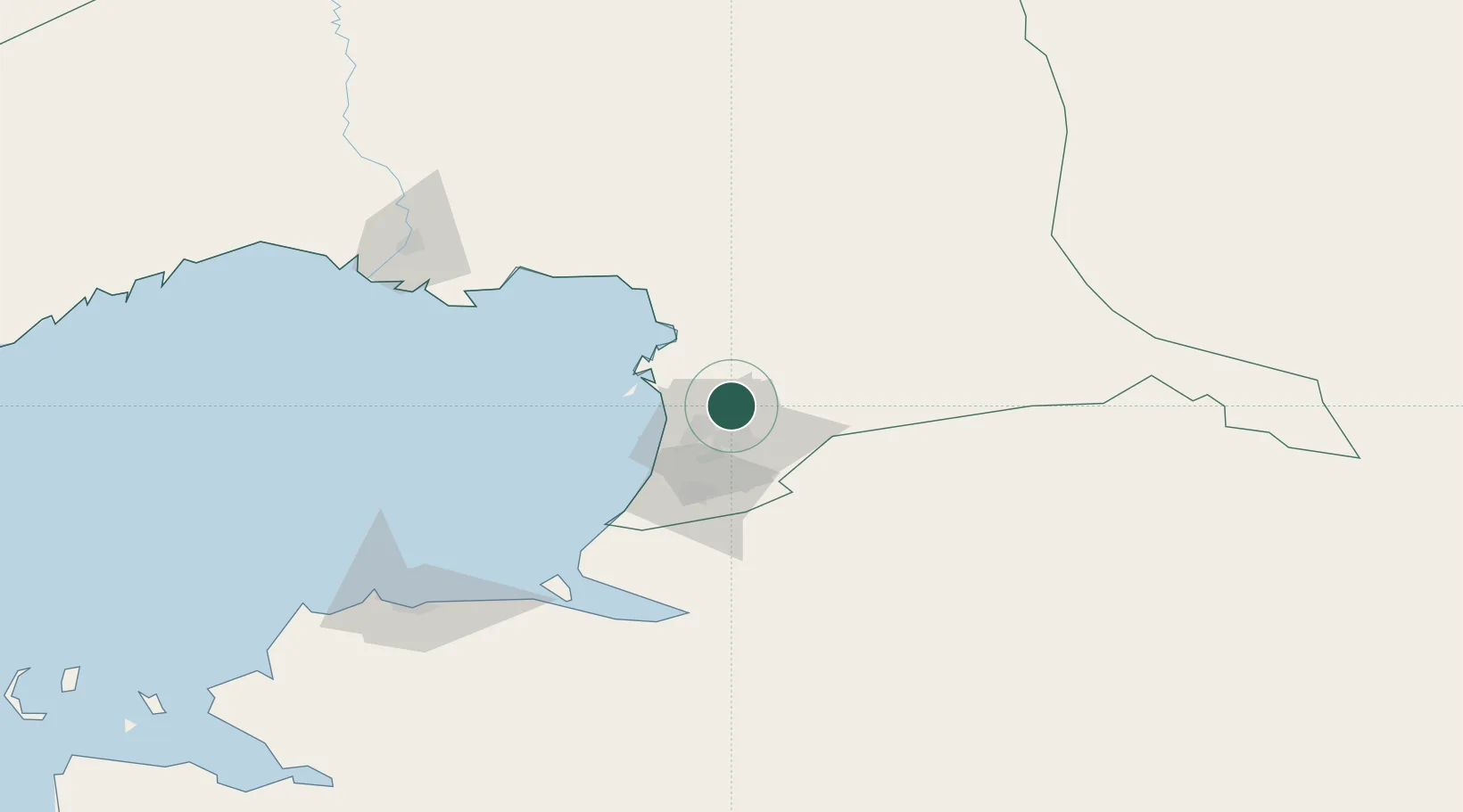
Hub Profile
Place type
Populated place
Region
Atyrau Oblisi
Time zone
Asia/Atyrau
Elevation
-22 m
Location
Nearby Logistics Neighbours
Cities
- 1Kul'sary80 km
- 2Atyrau (ex Guryev)145 km
- 3Bautino321 km
- 4Aktau350 km
- 5Shubarkuduk384 km
Ports
- 1Supsa Marine Terminal1047 km
- 2Rostov-Na-Donu1050 km
- 3Sokhumi1054 km
- 4Azov1072 km
- 5Batumi1078 km
Airports
Trade Zones
DatabookThe Record of Consolidated Knowledge
Kazakhstan beyond logistics?